wabash County Flood Hazard Information
Effective Regulatory Products
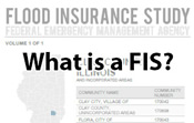
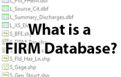
Effective products are the official regulatory products as adopted by FEMA and a given local community for the National Flood Insurance Program (NFIP). The products are intended to be used as the basis for official actions required by the NFIP. The products may include Flood Insurance Rate Maps (FIRM), Flood Insurance Study (FIS) reports, FIRM Databases, and effective Letters of Map Change (LOMC).
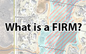
Effective Flood Insurance Rate Maps for wabash County may be viewed and/or downloaded at the FEMA Flood Map Service Center (MSC).
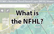
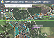 Additionally, effective flood hazard data can be viewed in FEMA's National Flood Hazard Layer viewer (NFHL). Counties with a status of Effective or any of the Physical Map Revision (PMR) statuses (symbolized with diagonal lines) on the Resources by County map are included in the NFHL viewer. Zoom to an area or use the search bar to find a specific location. Full FIRM panels or a “FIRMette” of a smaller area can be exported using the NFHL Print Tool.
Non-regulatory Products
Non-regulatory products, referred to as Flood Risk Products (FRP), go beyond the basic flood hazard information found in the official regulatory products. The Flood Risk Database, which parallels the FIRM database, provides a wealth of data that may be used to analyze, communicate, and visualize flood risk. Communities are encouraged to use this database to support mitigation efforts and raise awareness. Non-Regulatory products such as Flood Risk Databases are also available at the MSC.
Mapping Phase
Preliminary Map Products
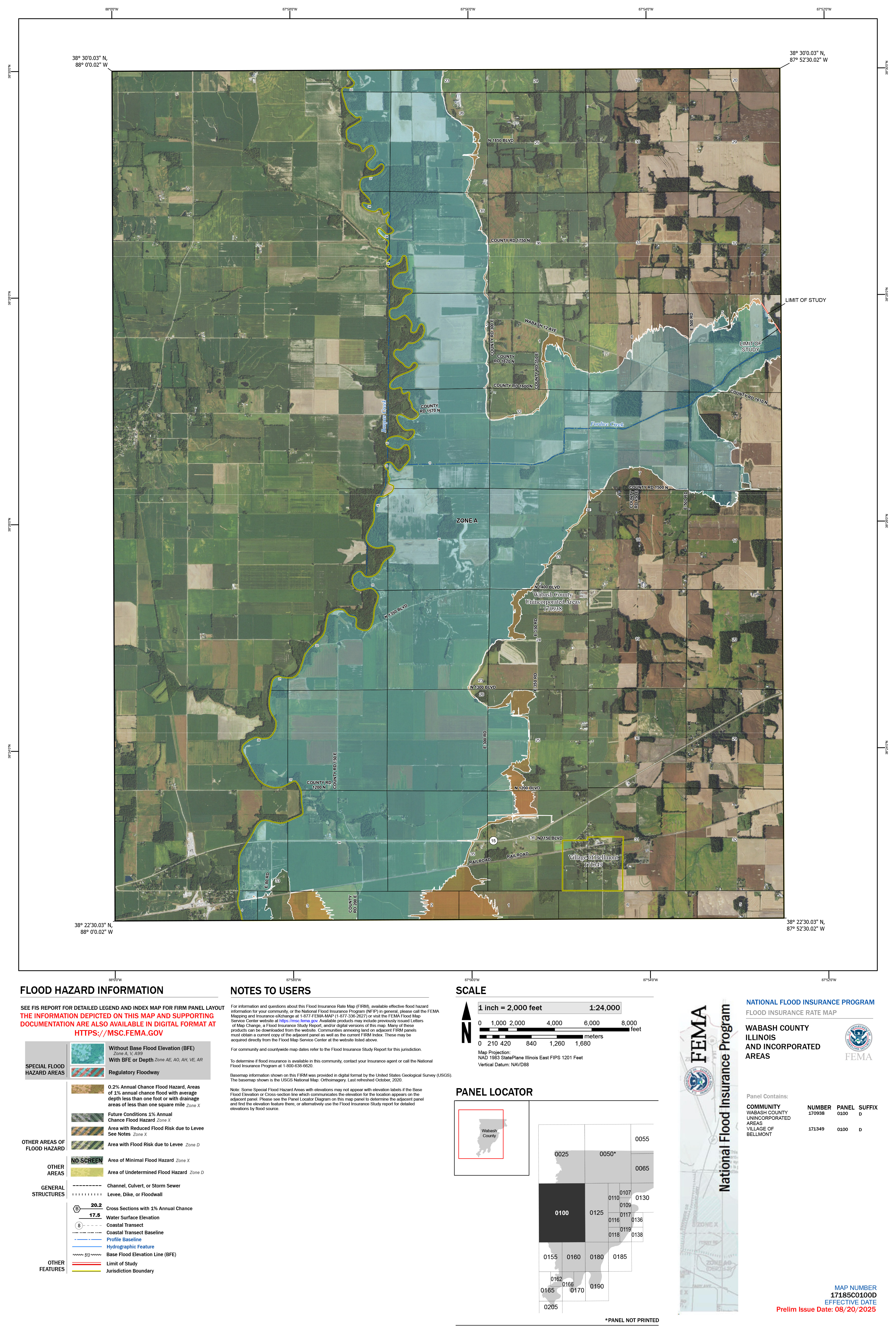
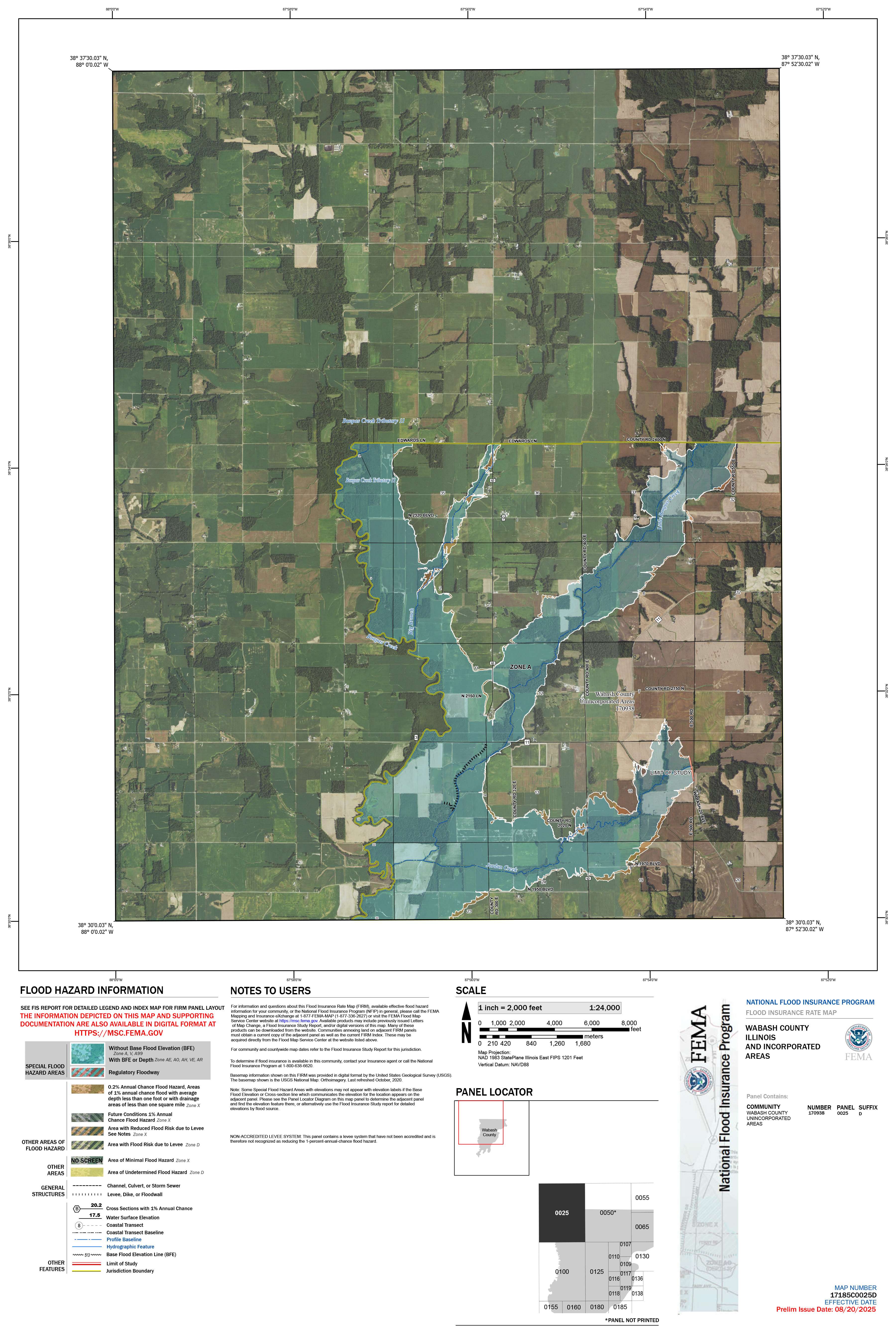
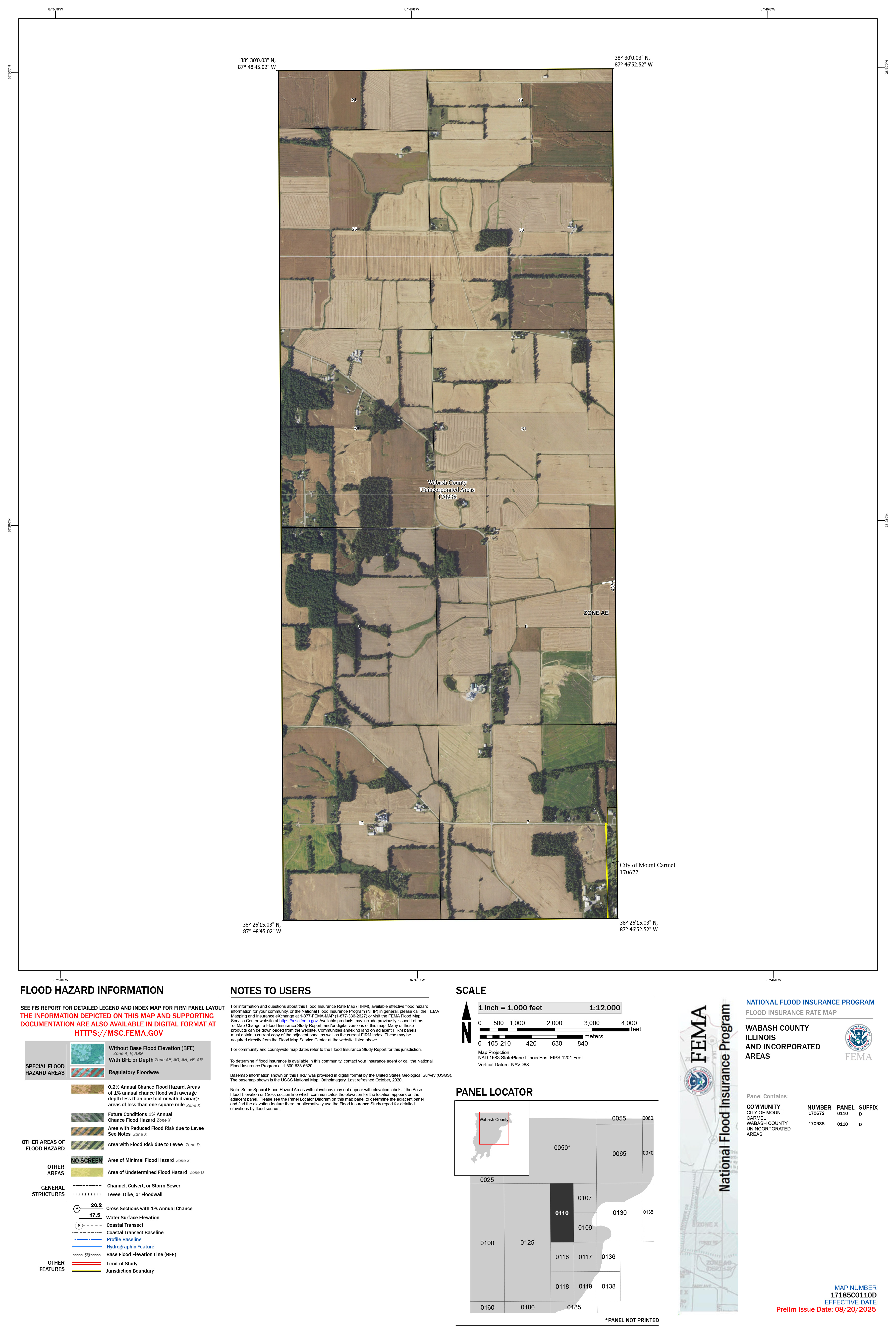
Released 8/20/2025, Preliminary products are available below, or at higher resolution from the FEMA MSC:
17185C0100D
17185C0025D
17185C0110D
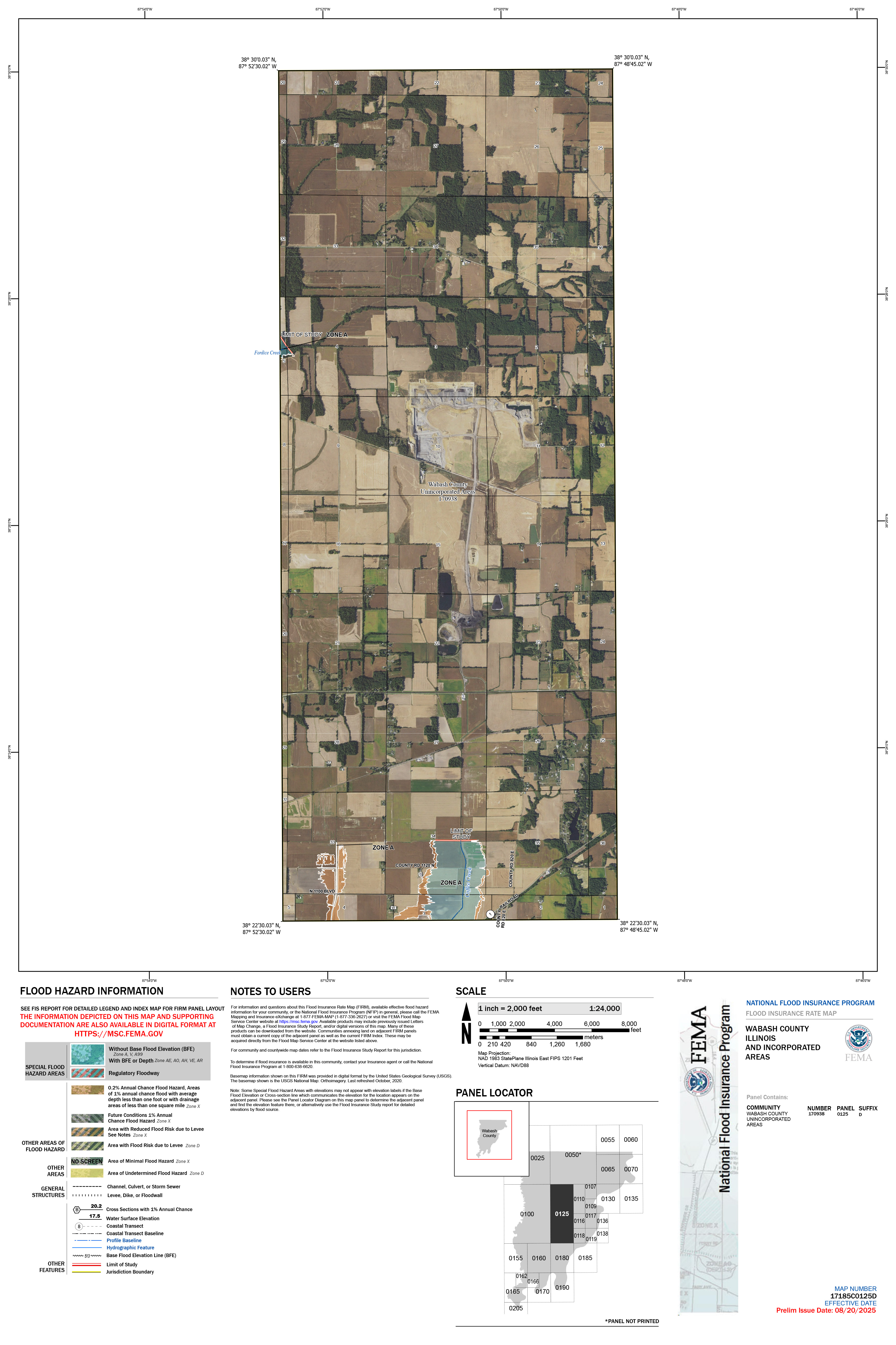
17185C0125D
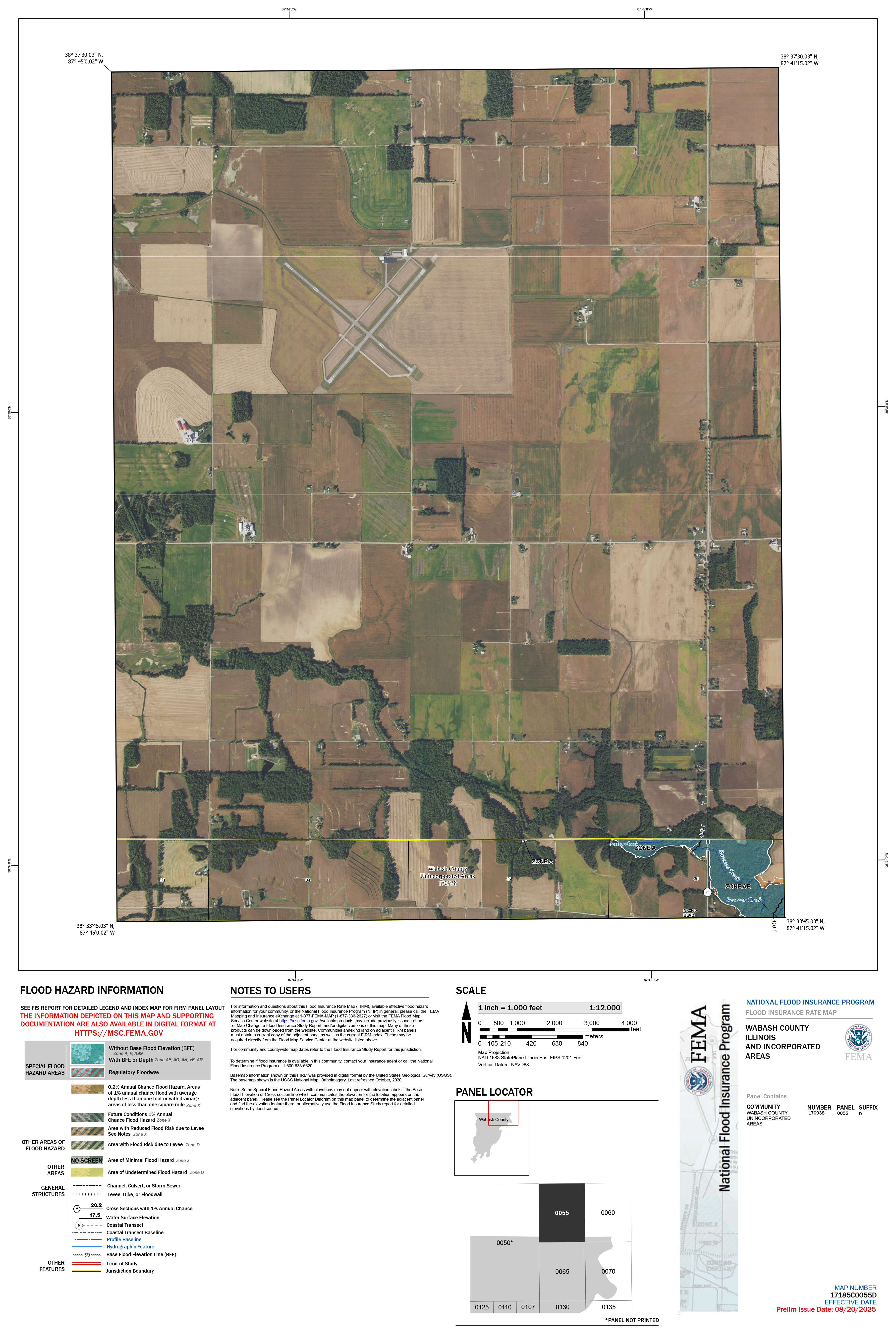
17185C0055D
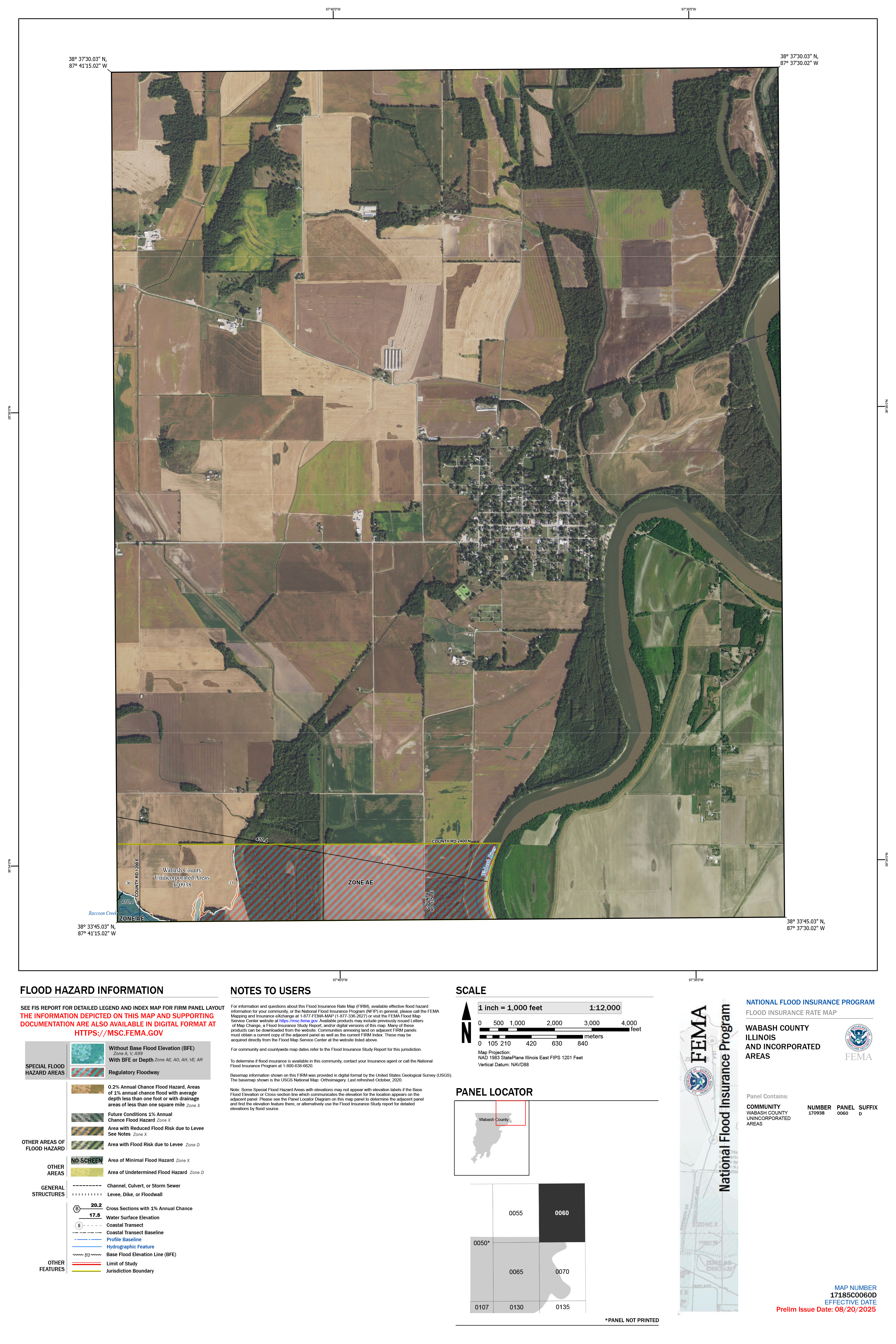
17185C0060D
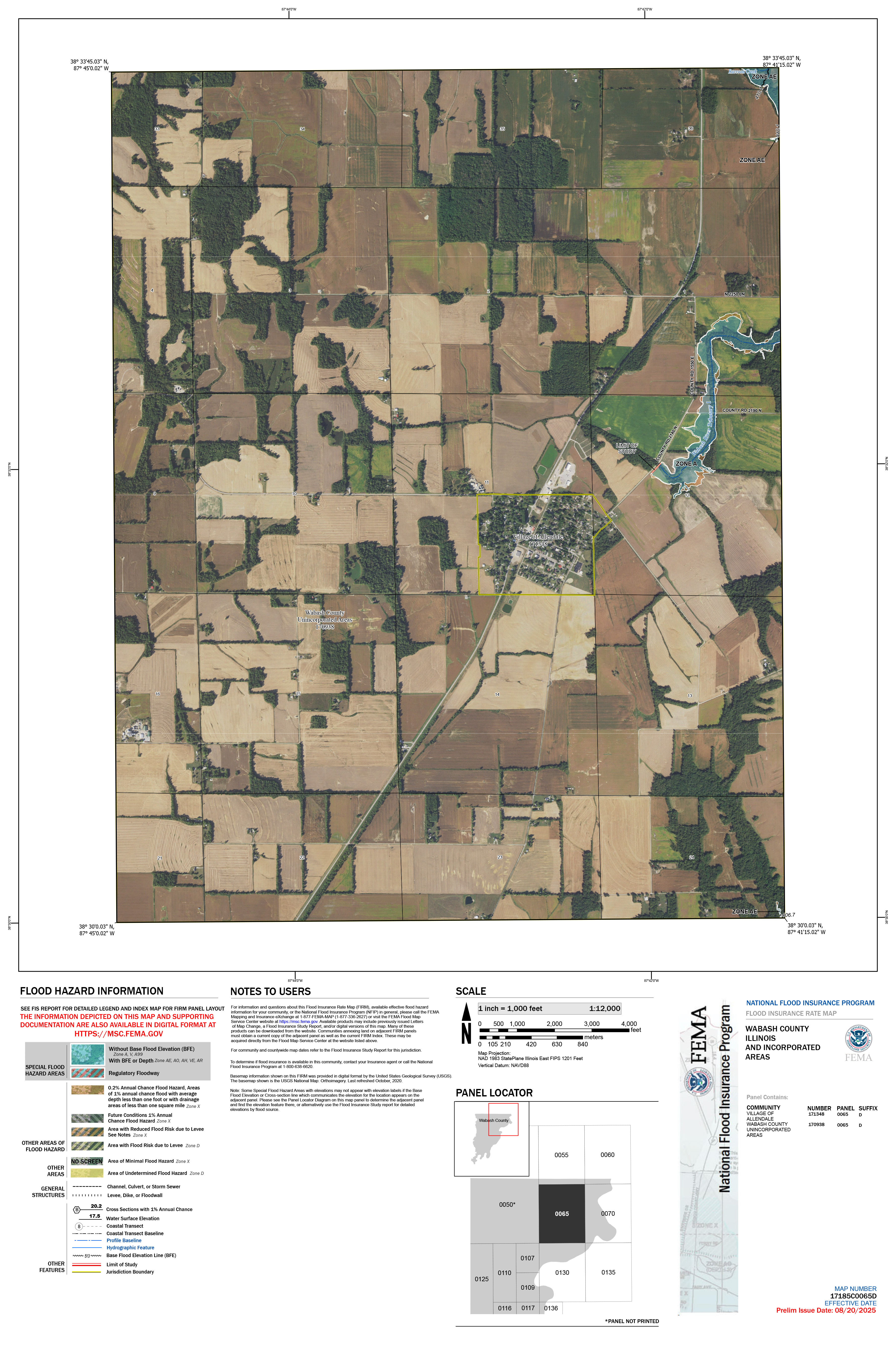
17185C0065D
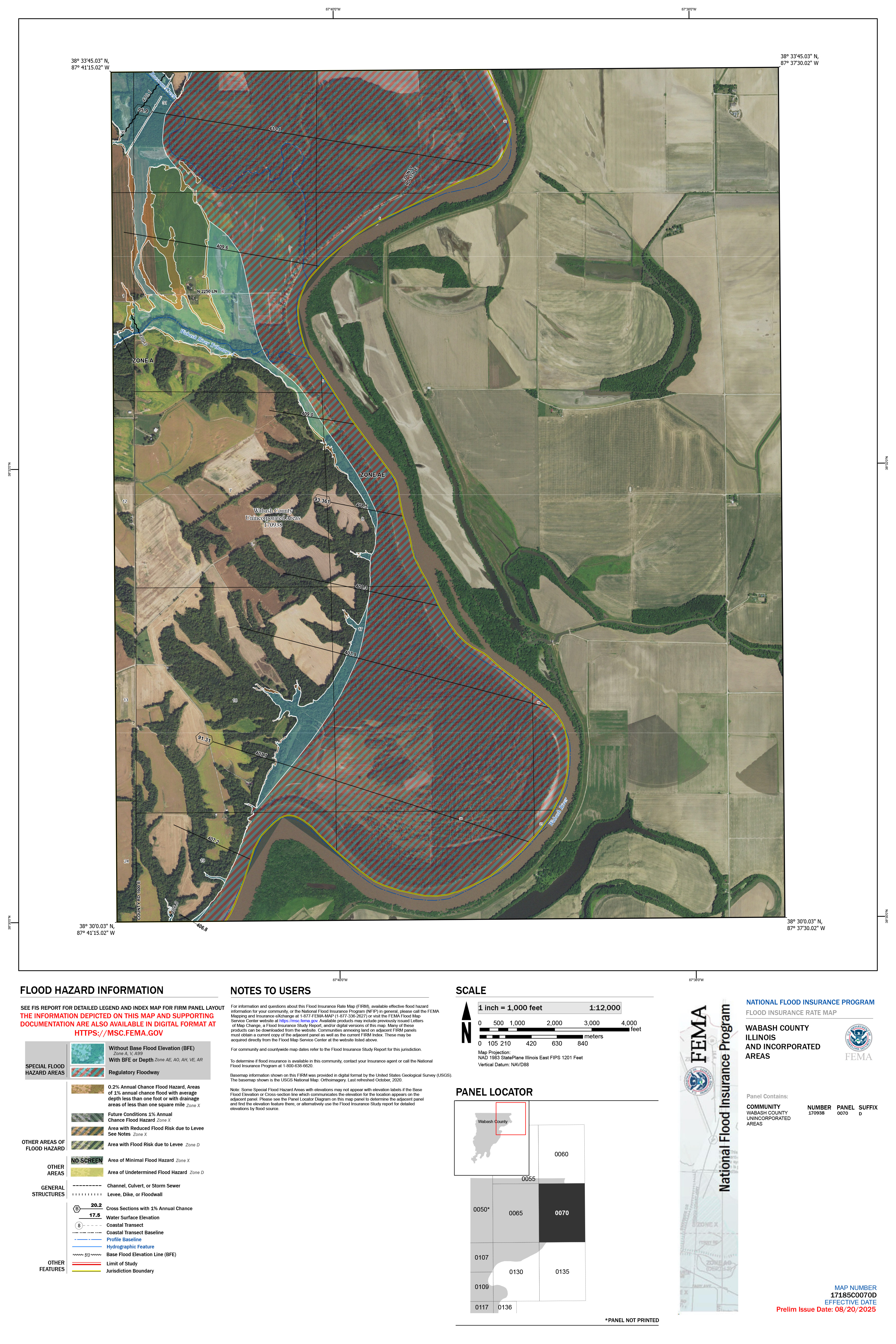
17185C0070D
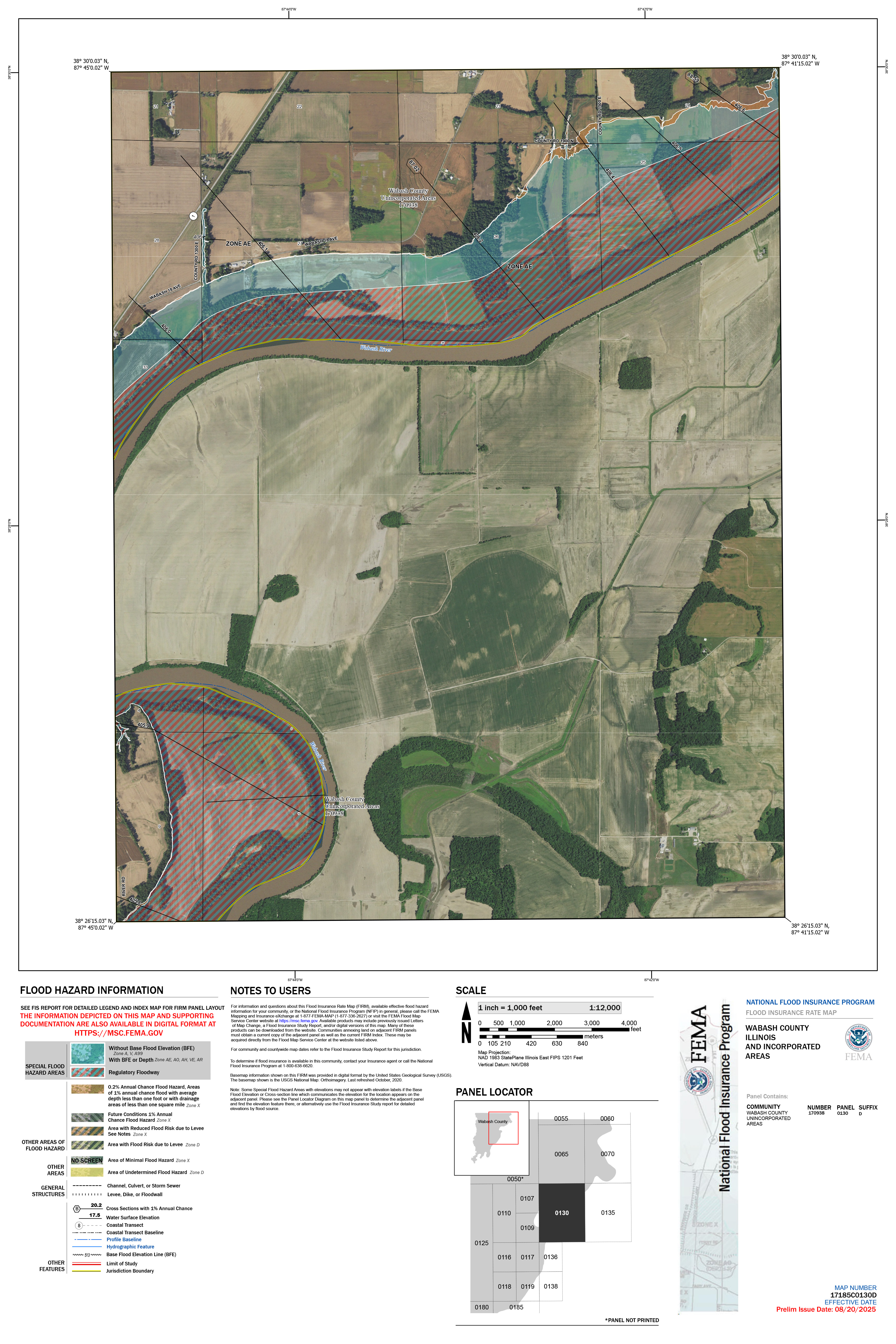
17185C0130D
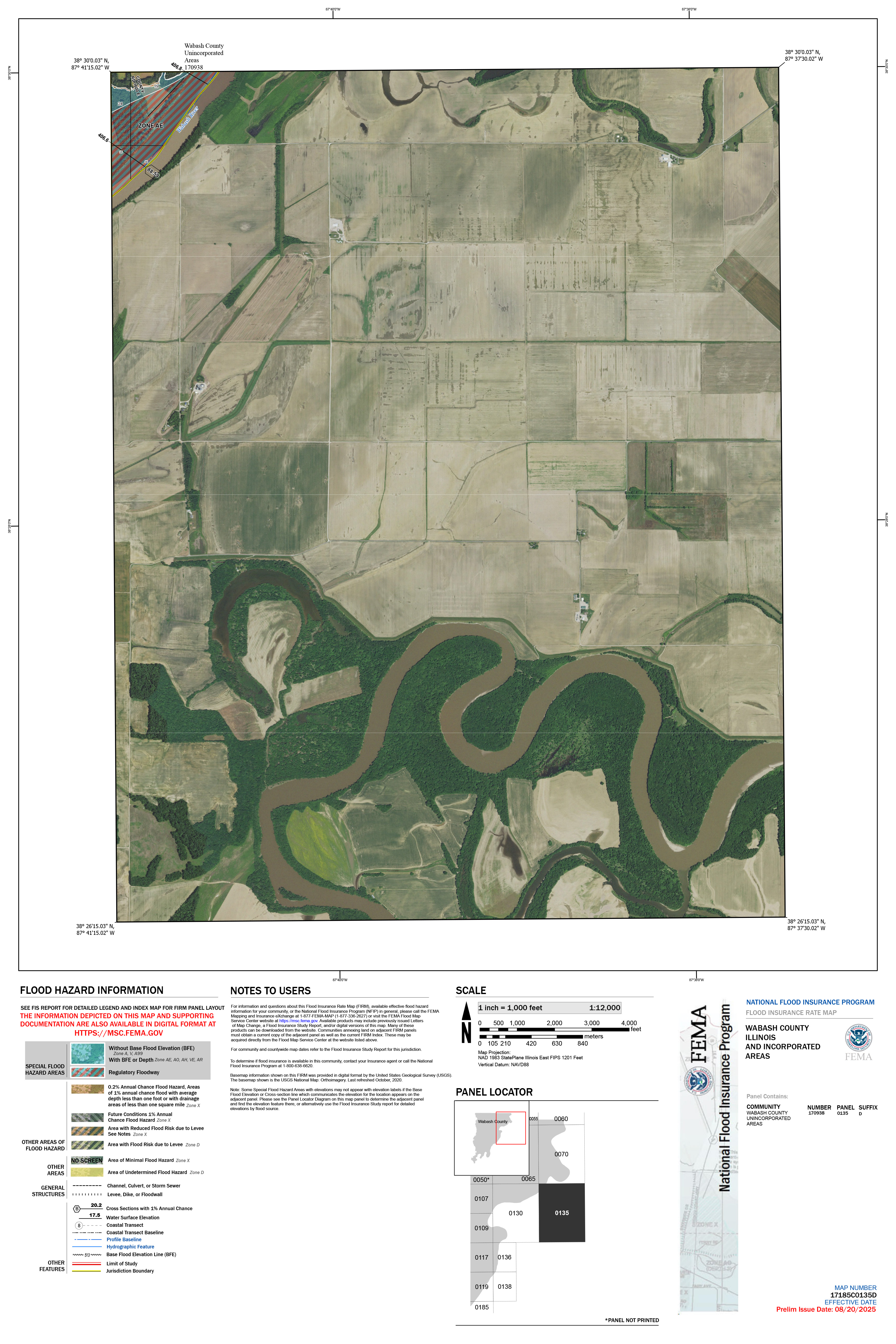
17185C0135D
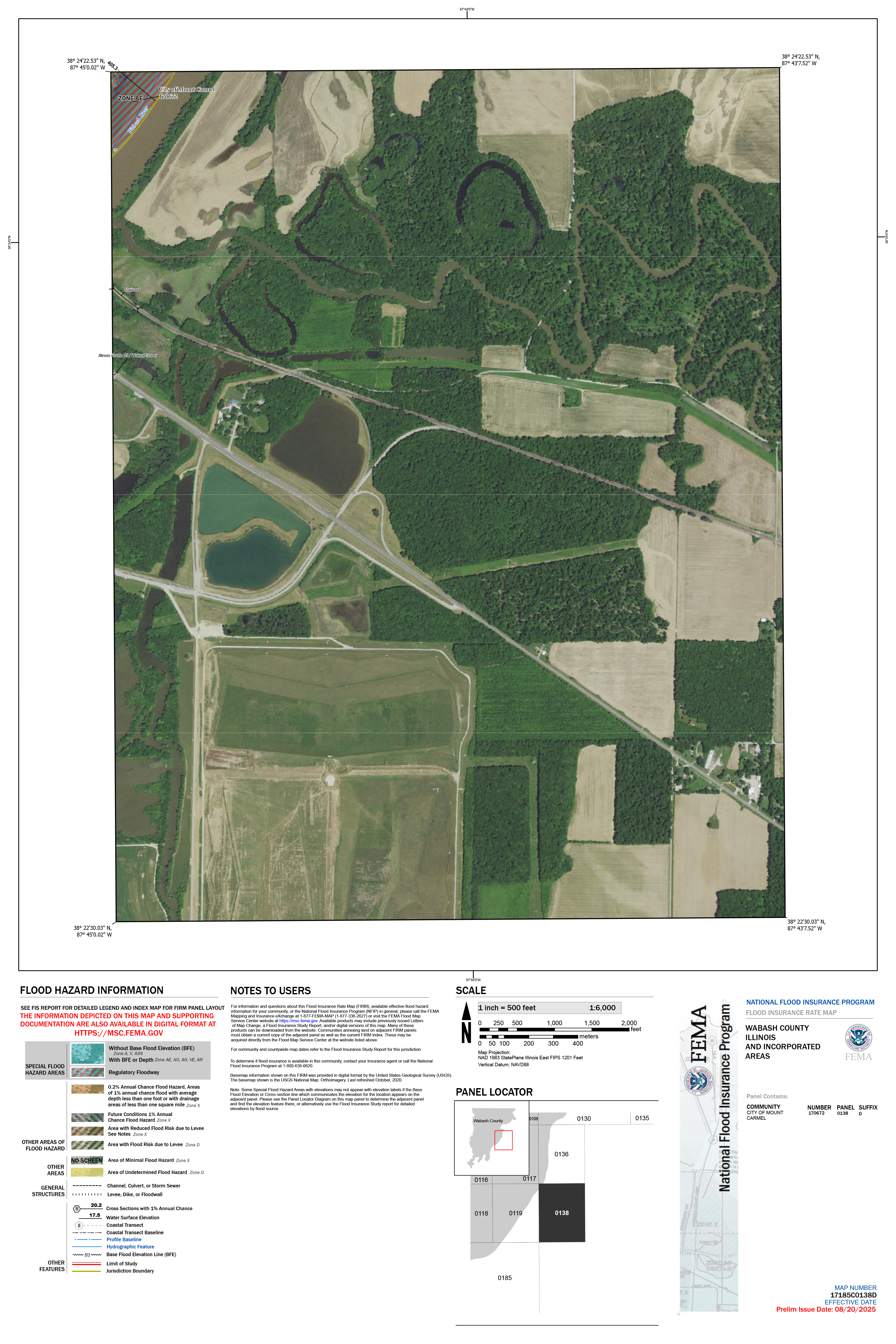
17185C0138D
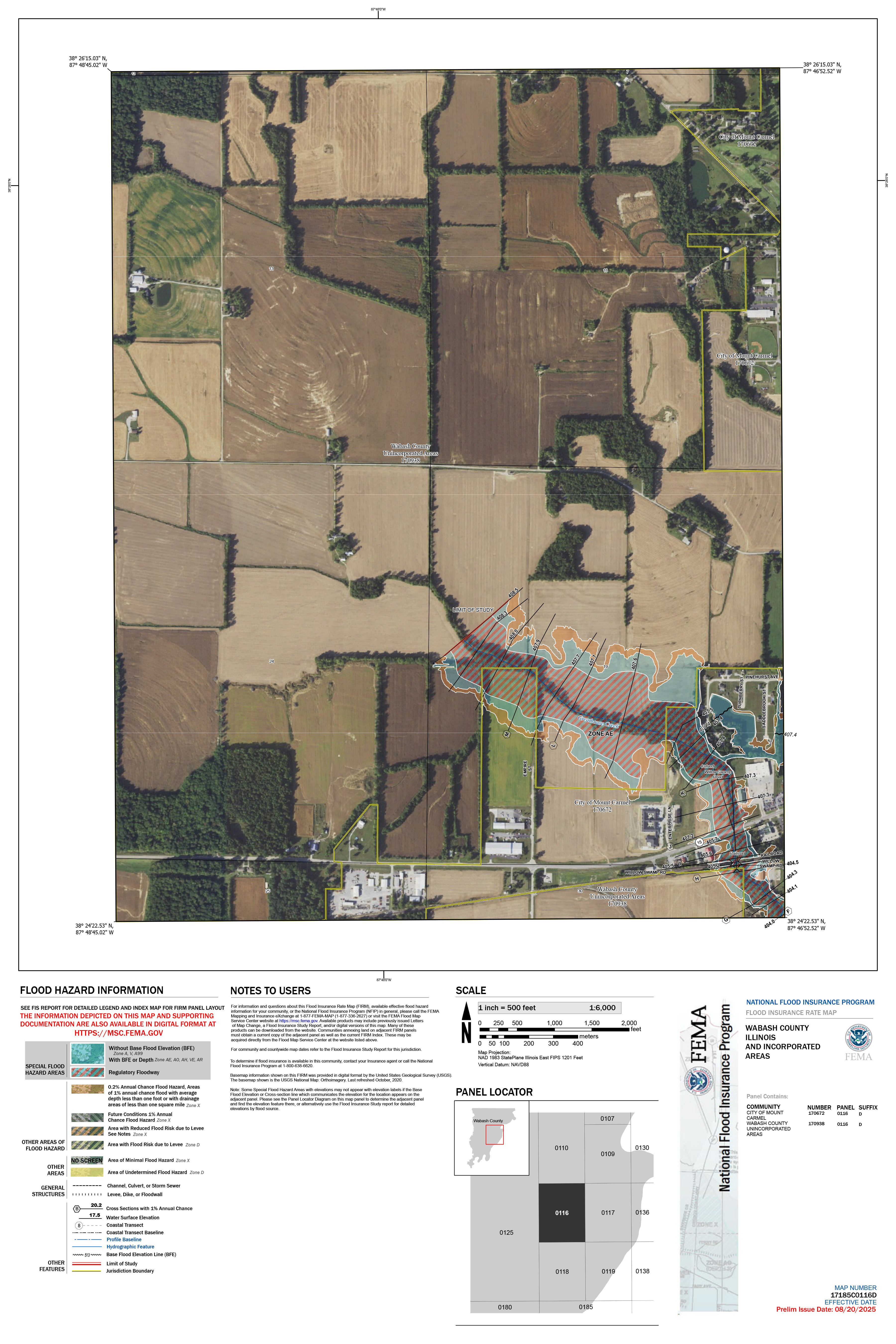
17185C0116D
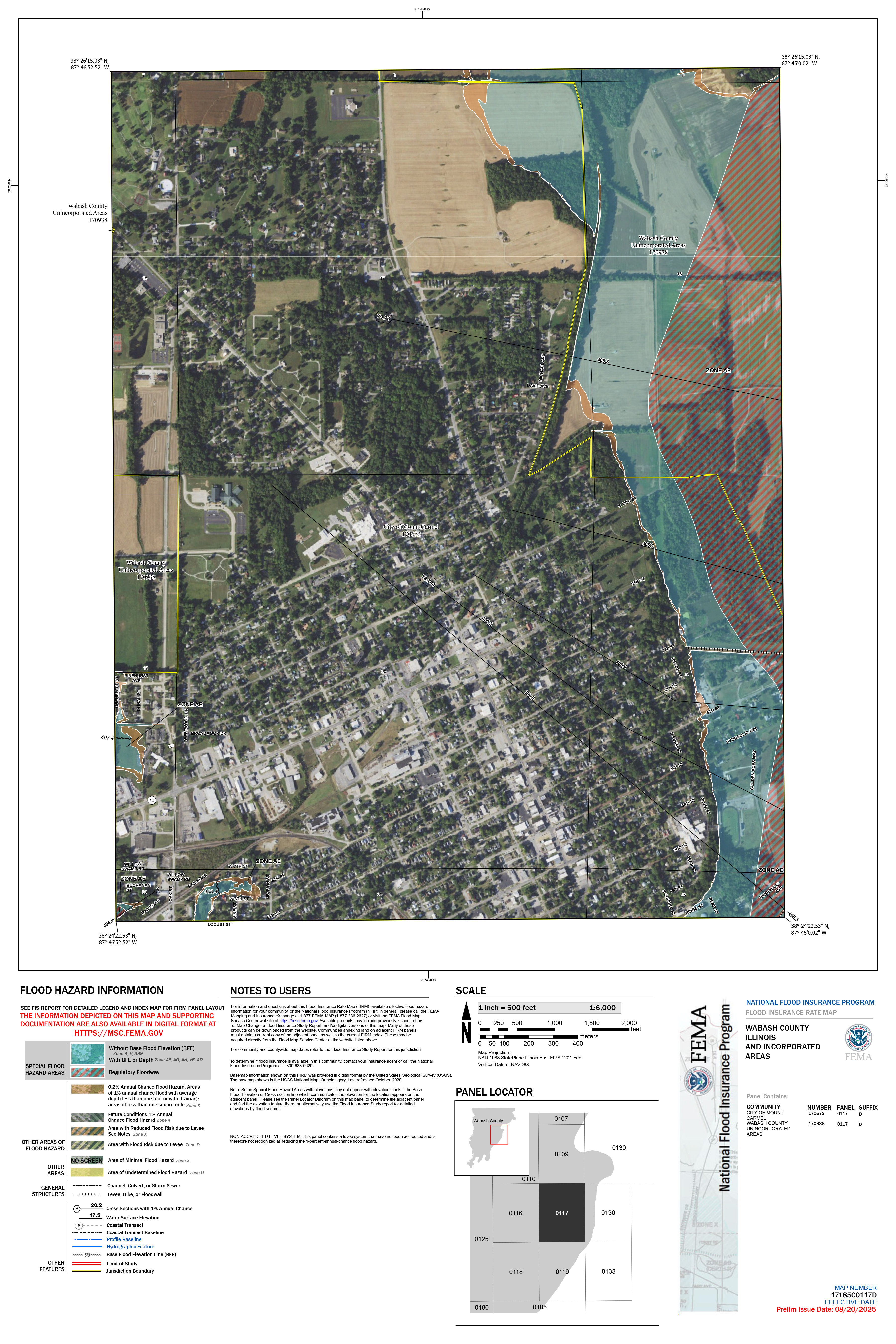
17185C0117D
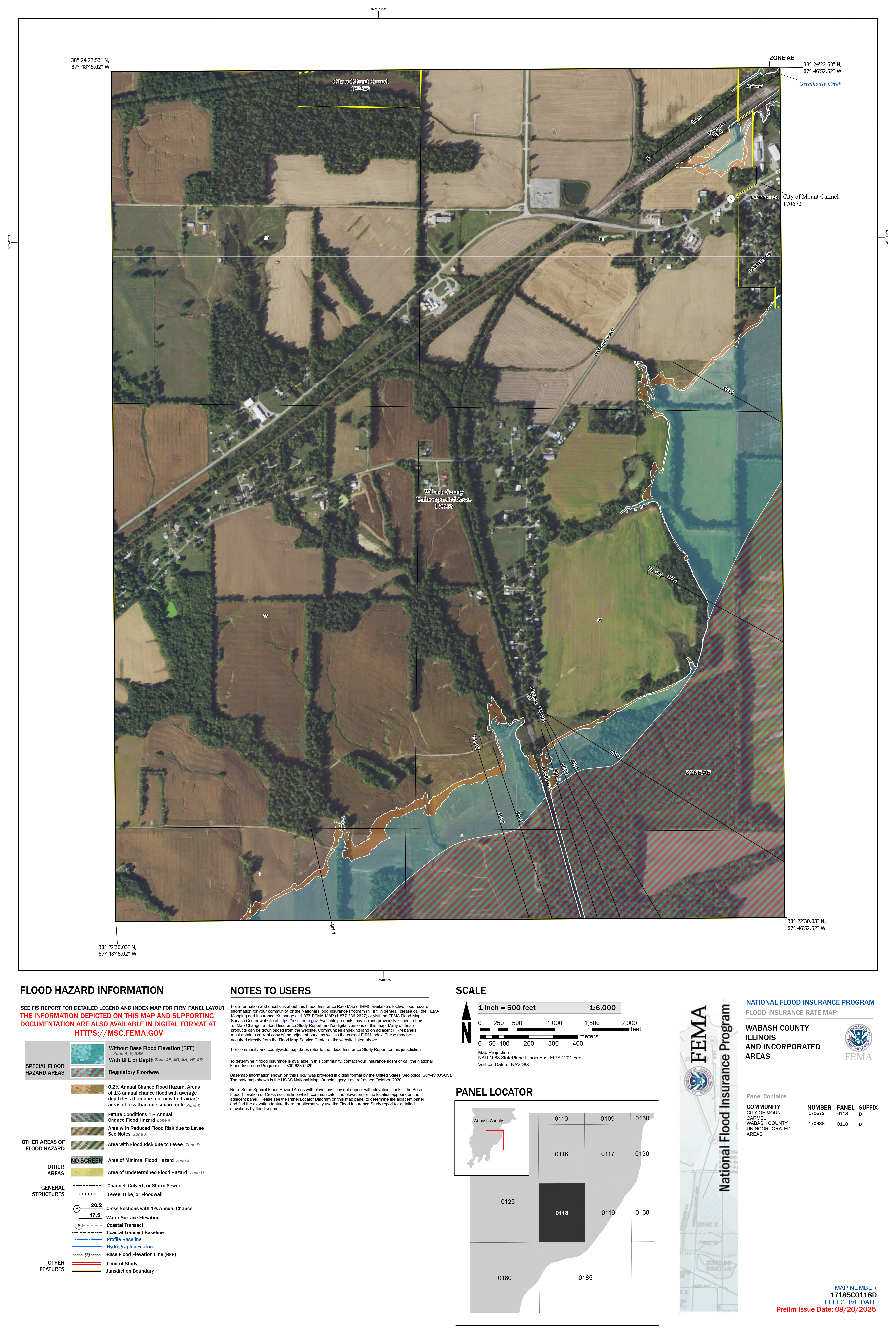
17185C0118D
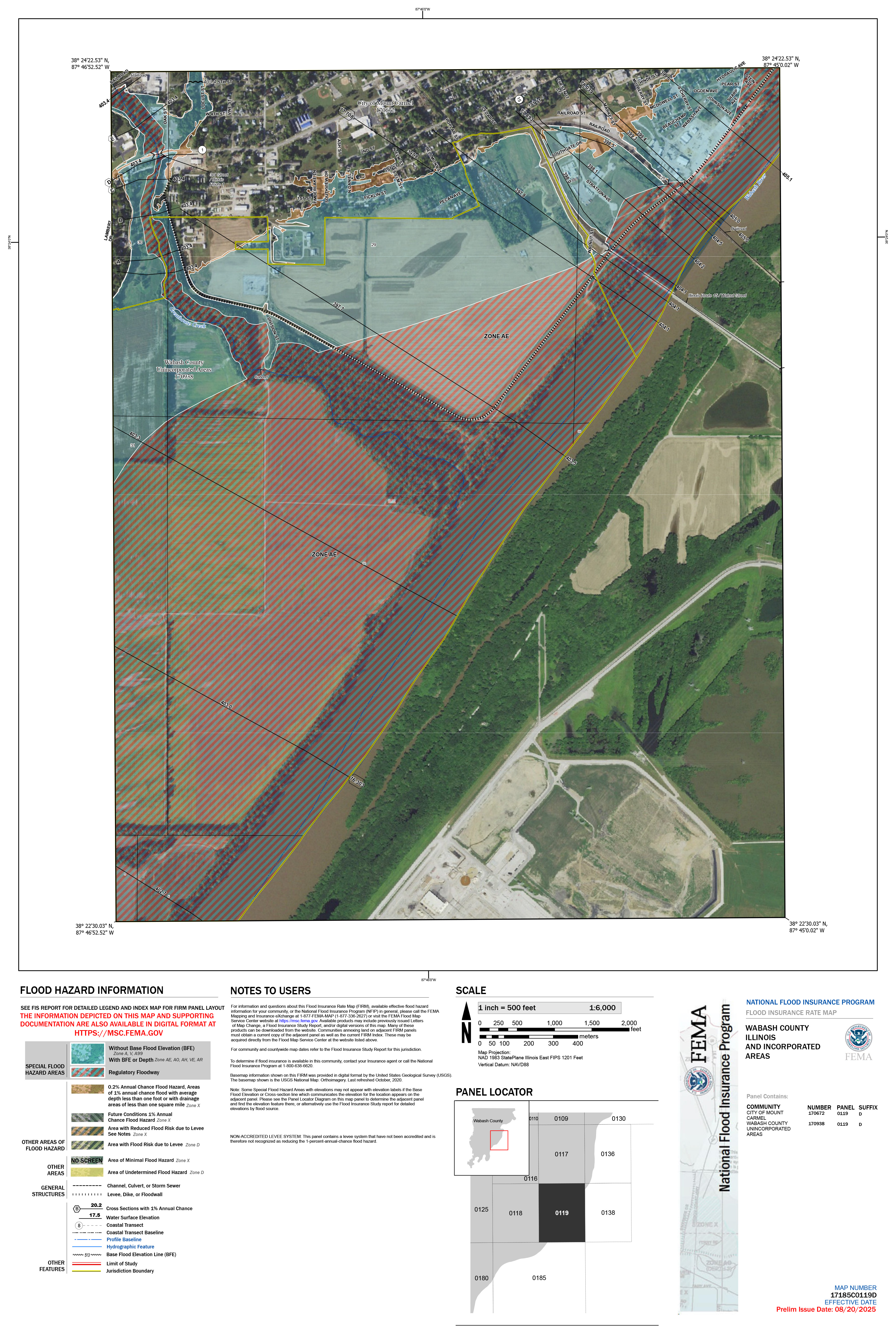
17185C0119D
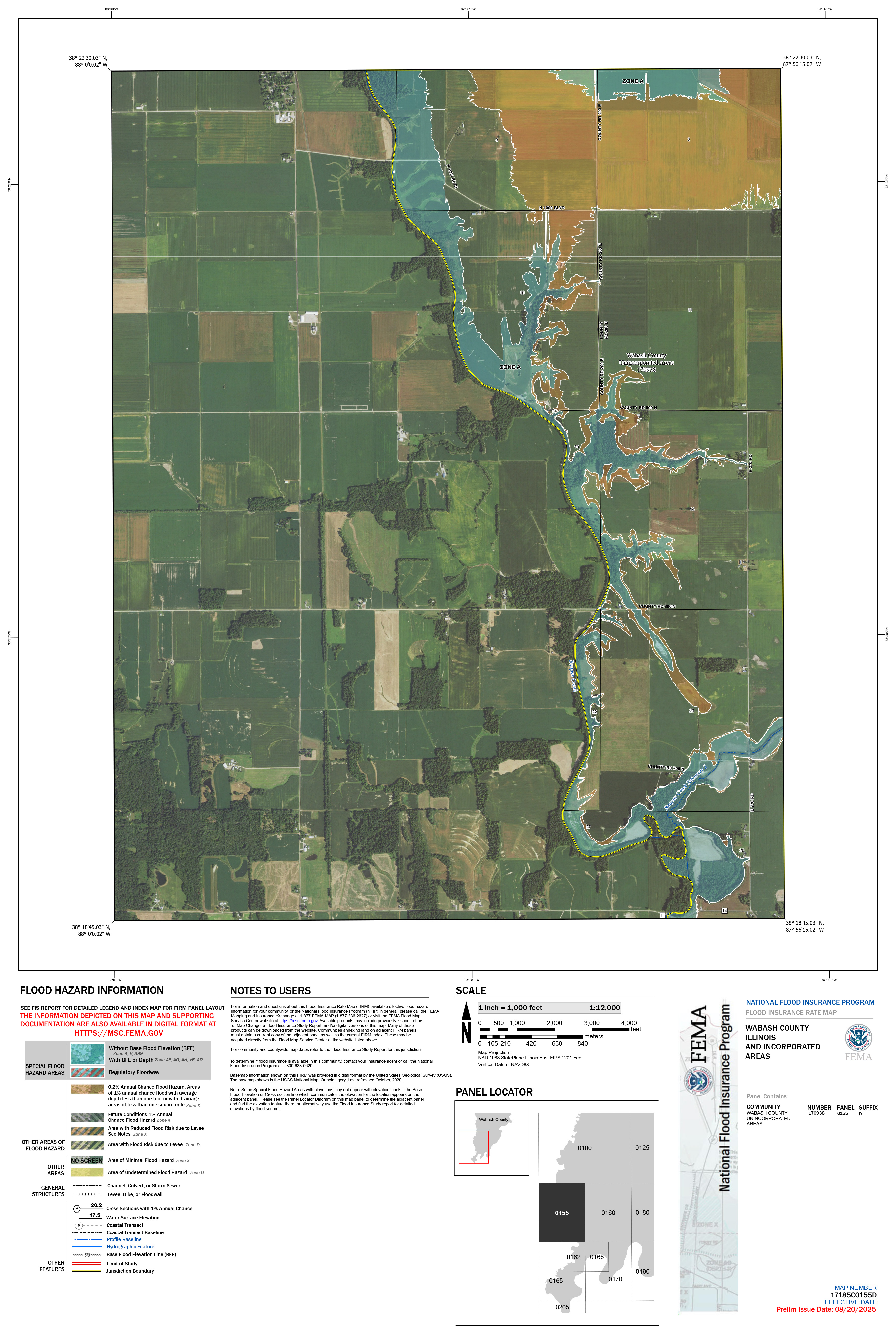
17185C0155D
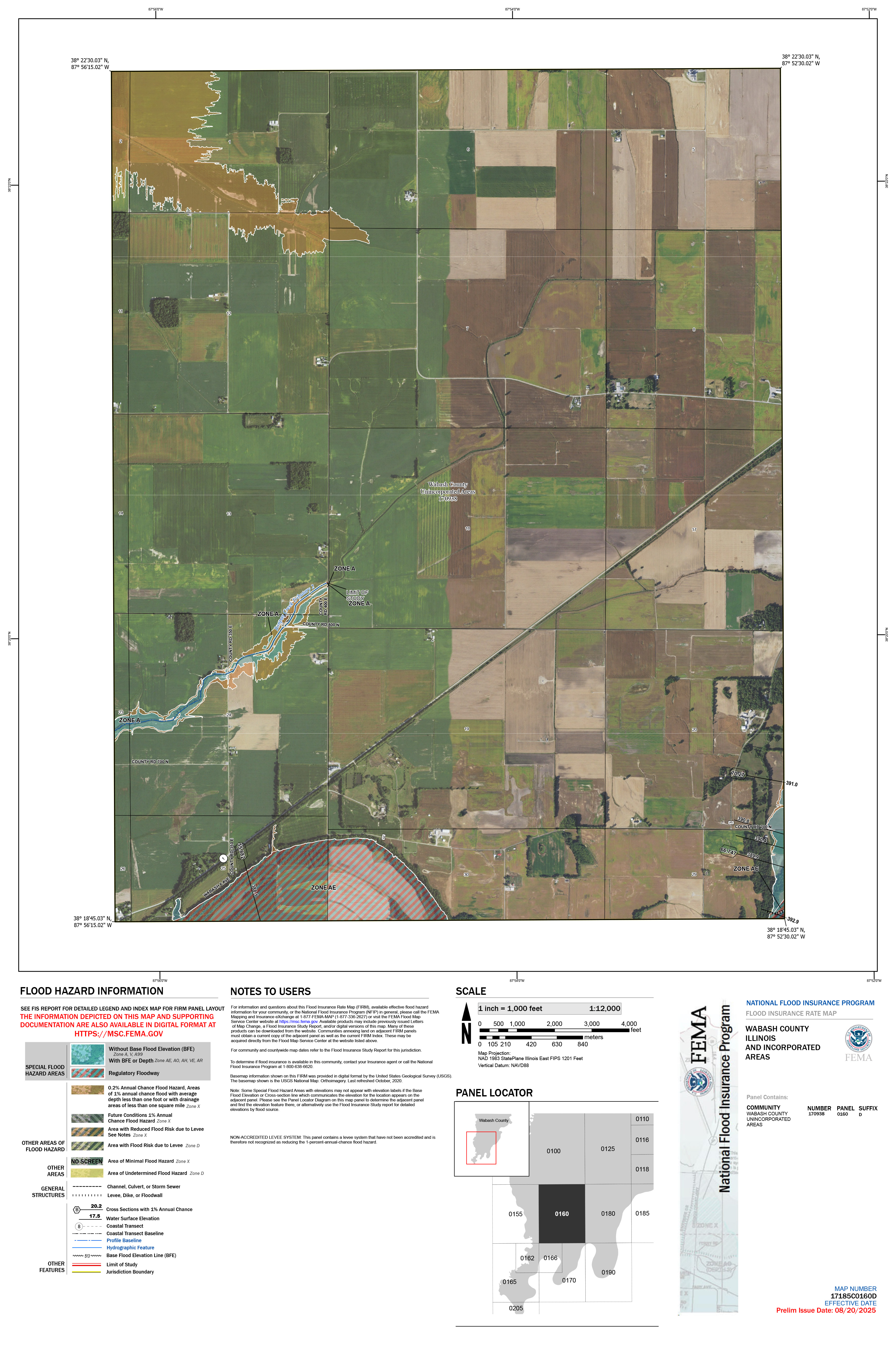
17185C0160D
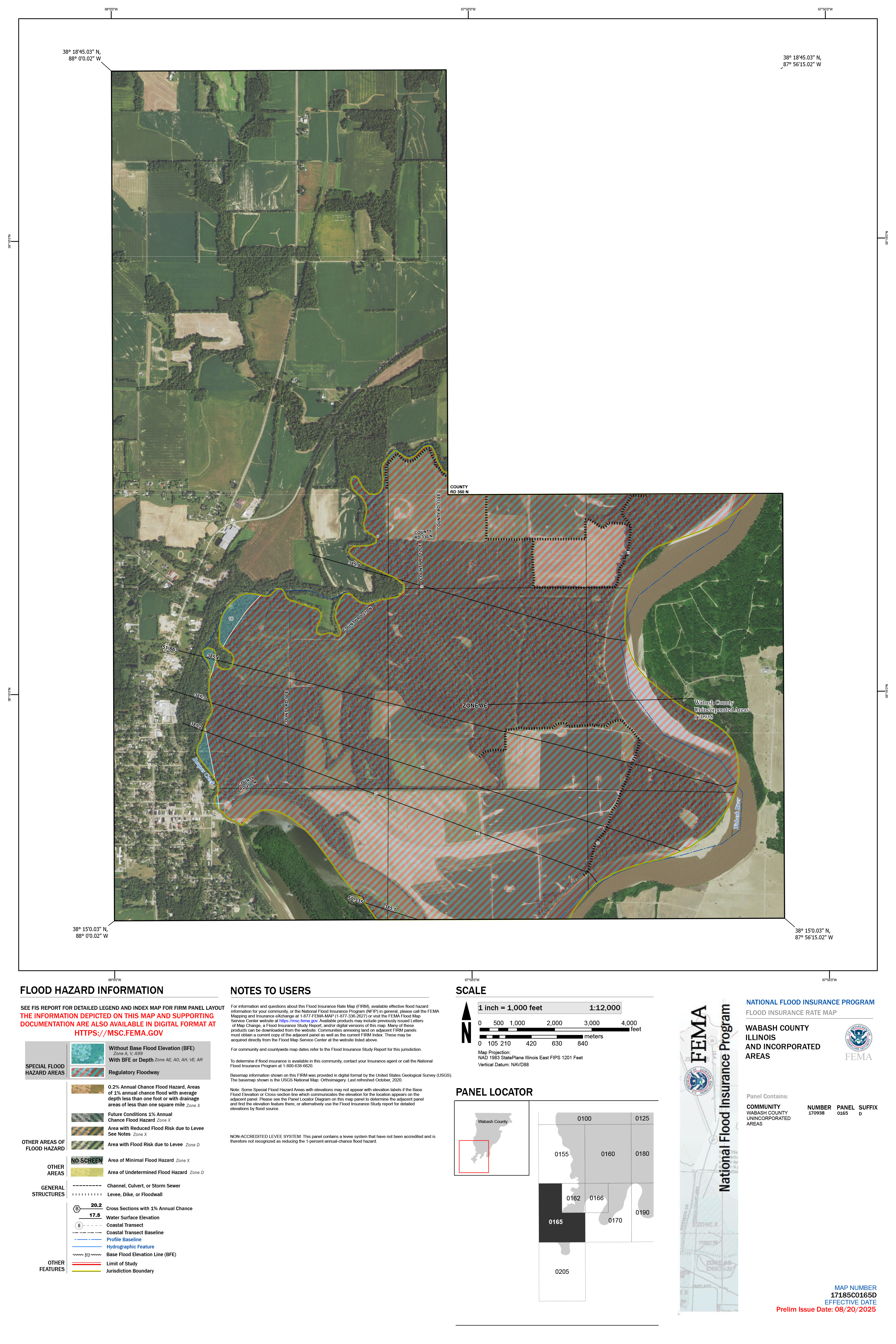
17185C0165D
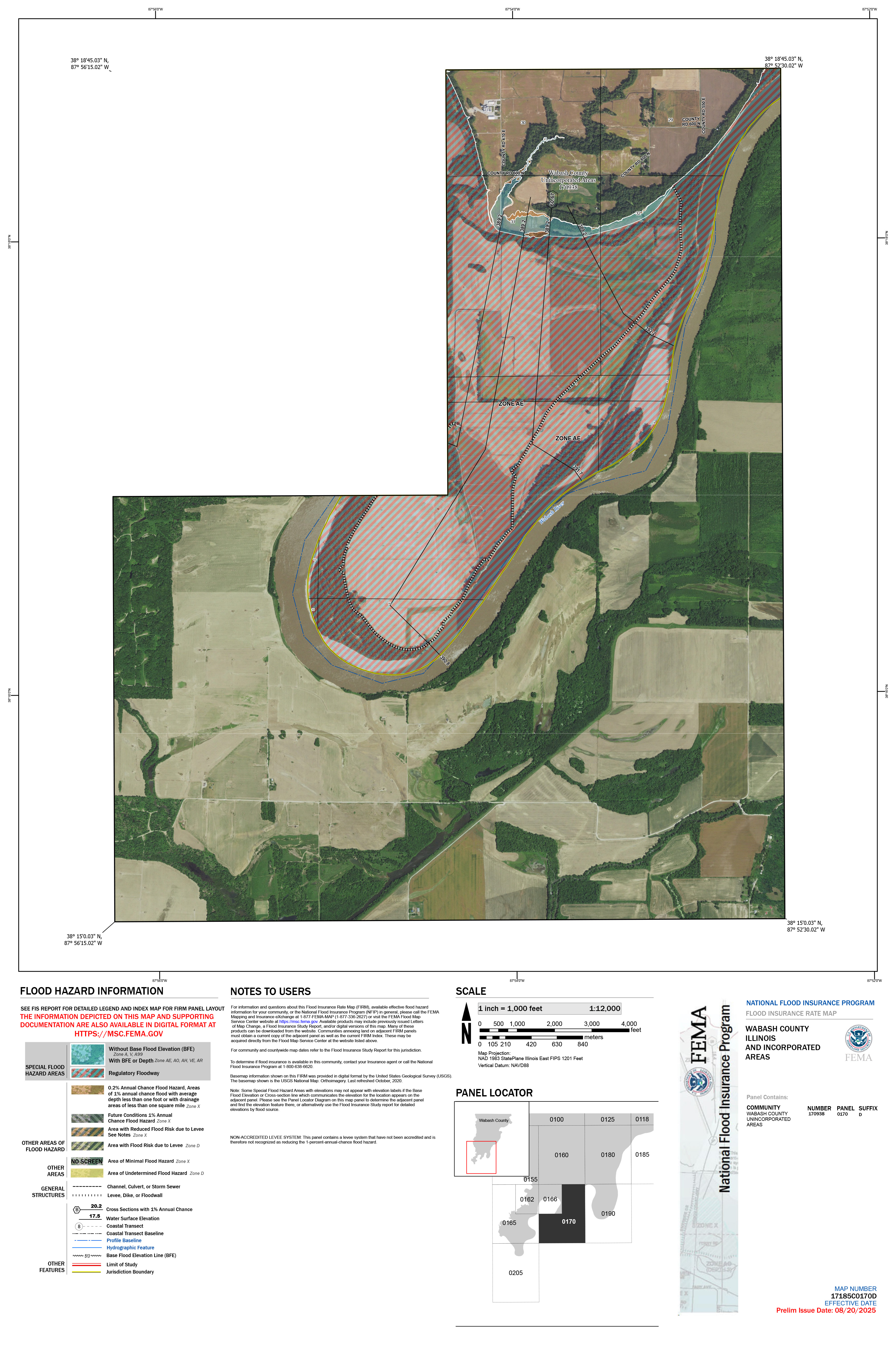
17185C0170D
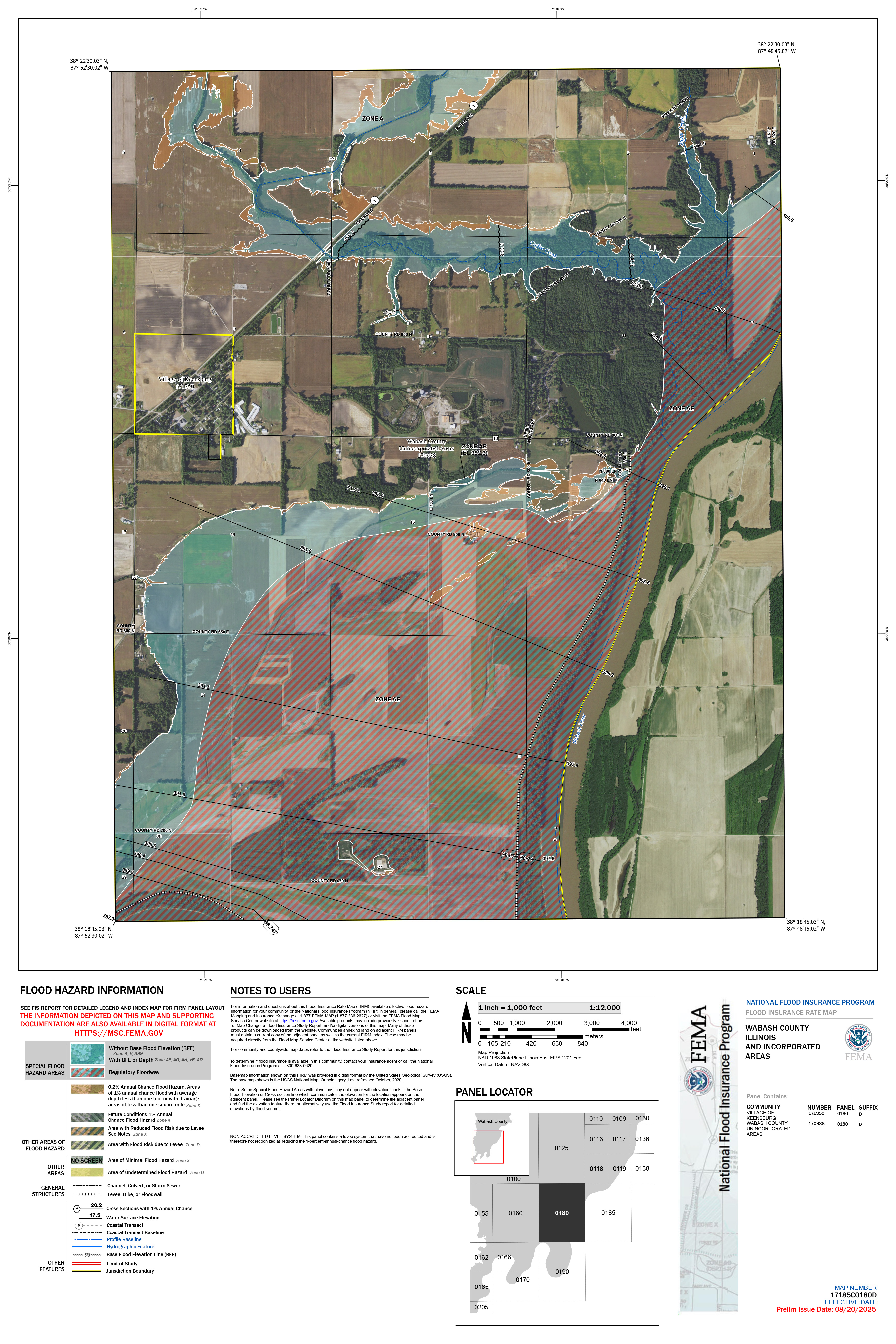
17185C0180D
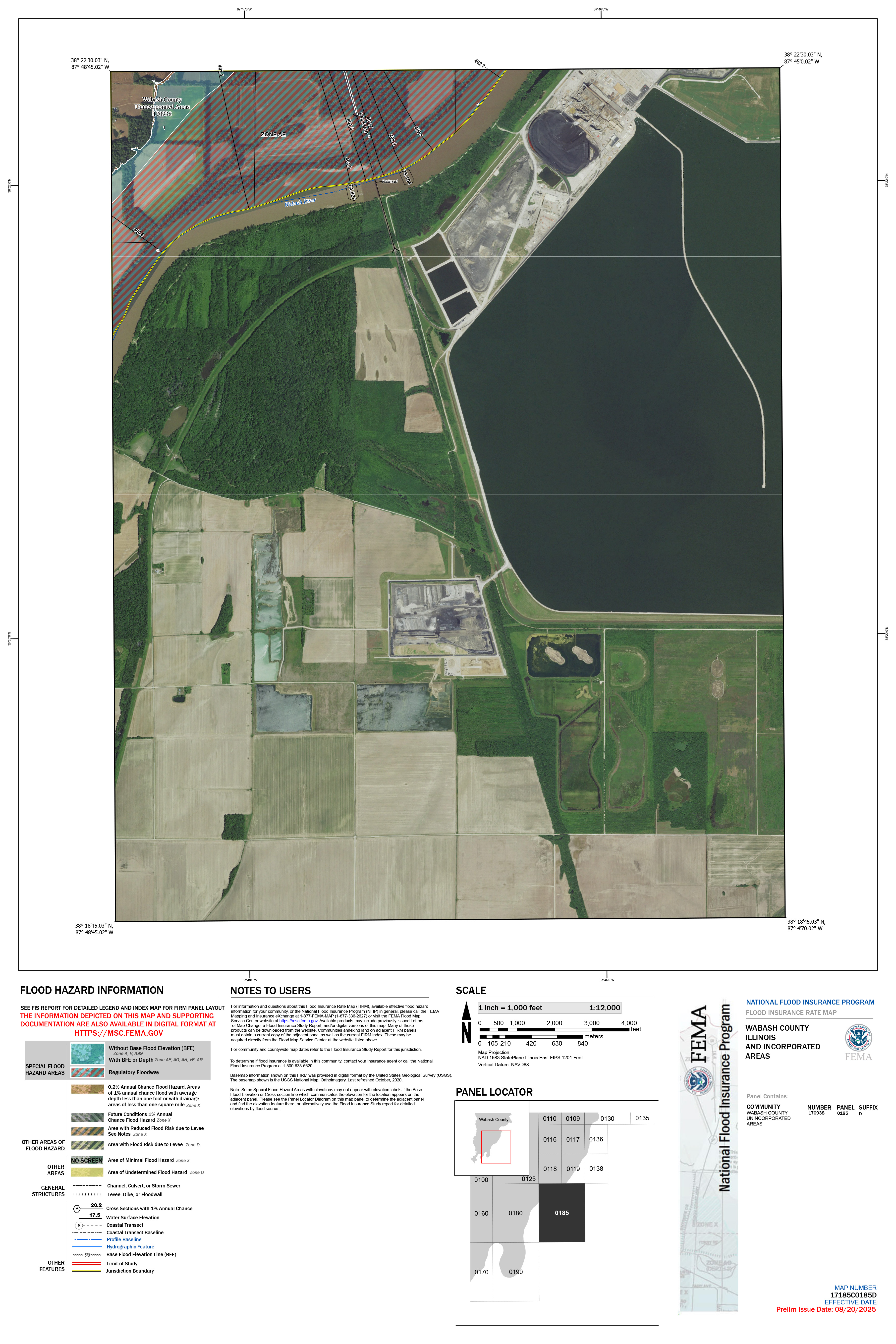
17185C0185D
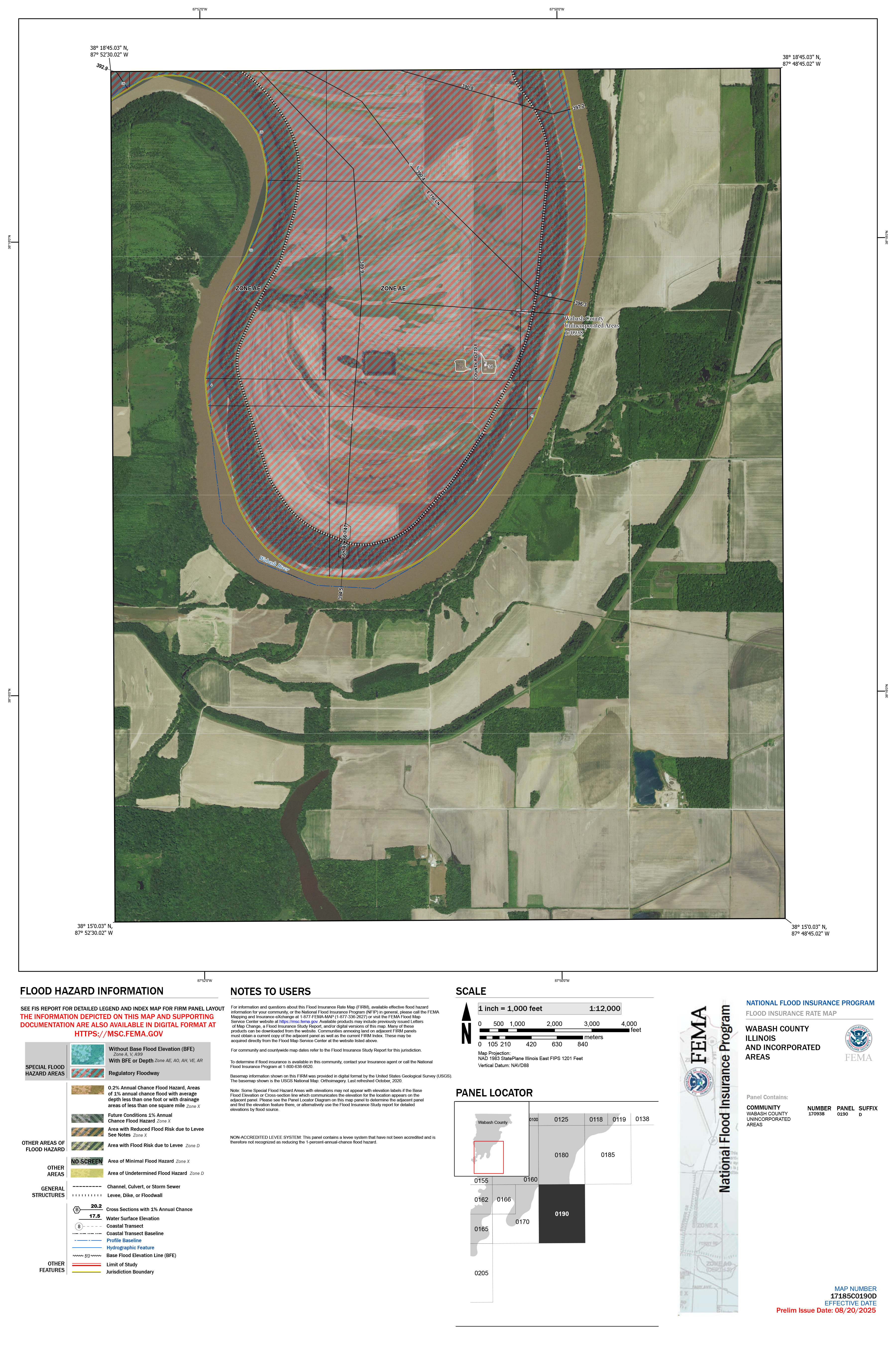
17185C0190D
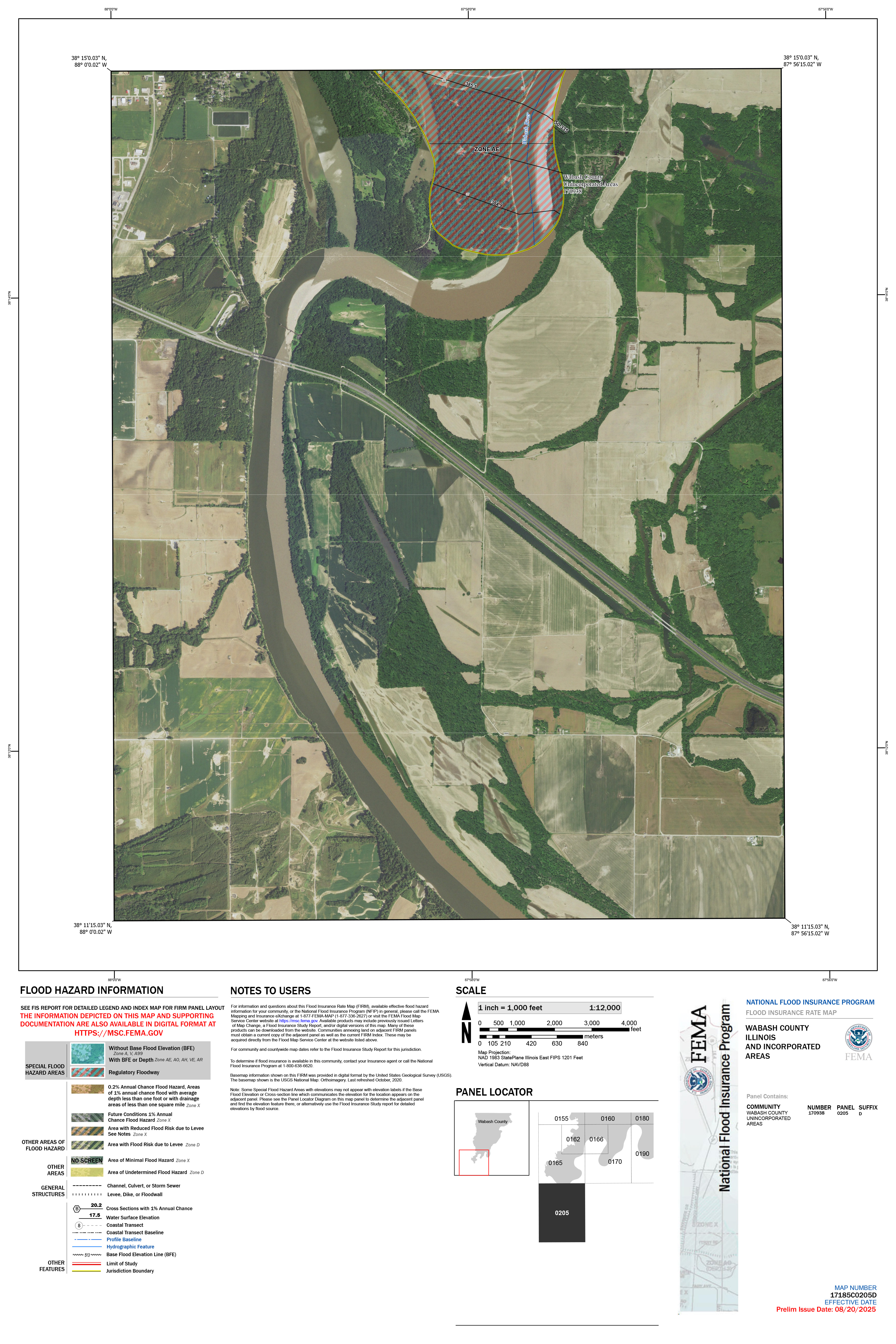
17185C0205D
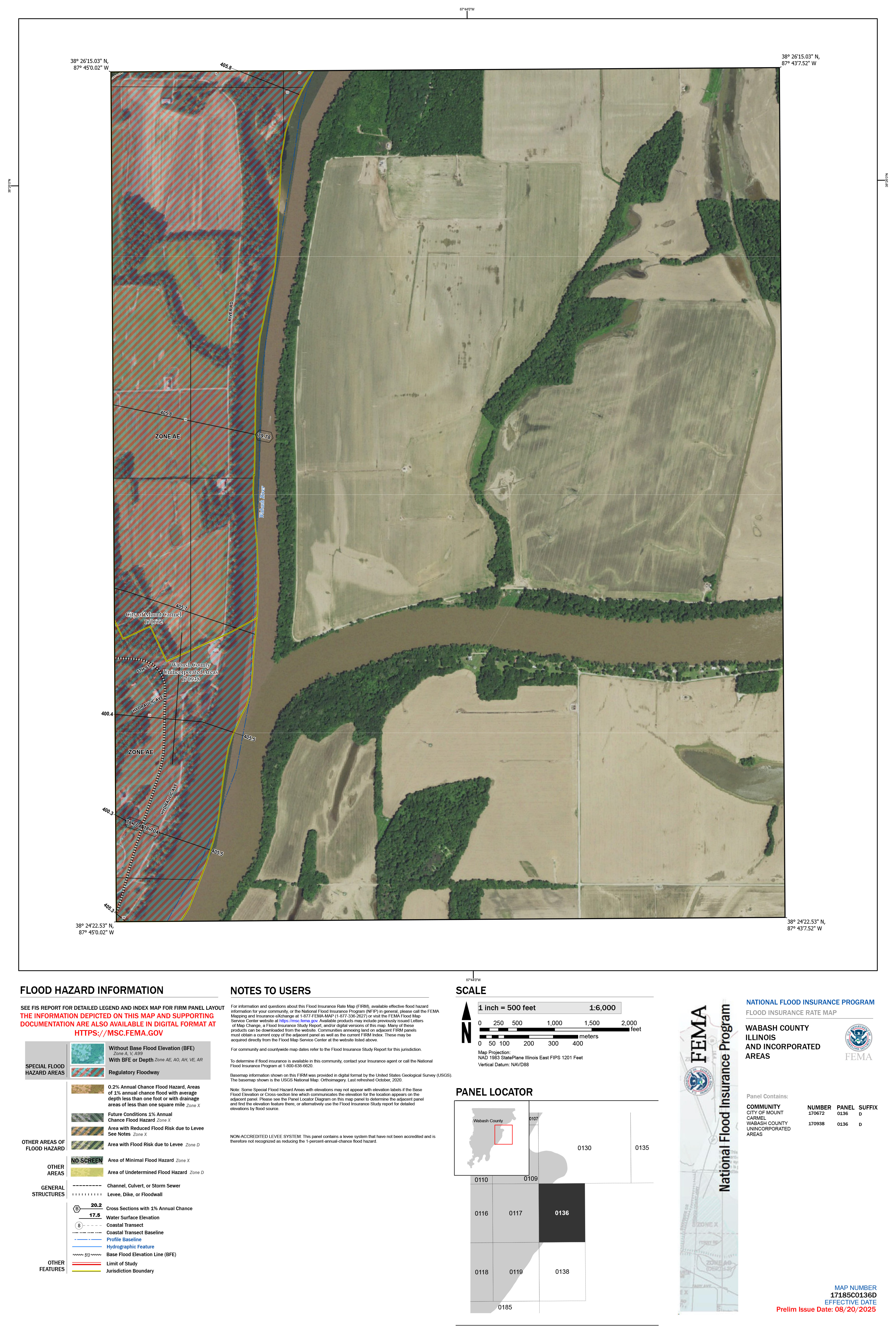
17185C0136D
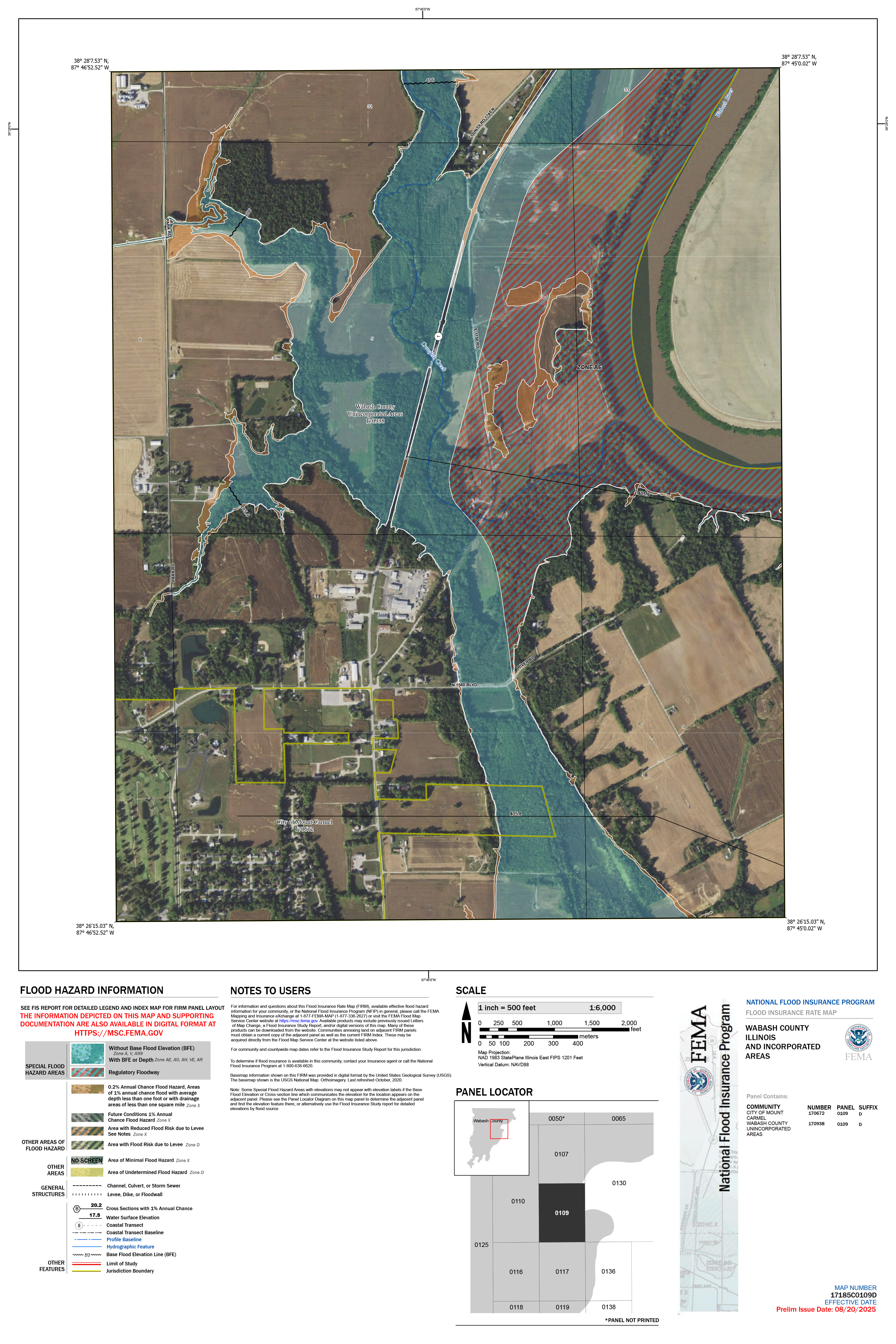
17185C0109D
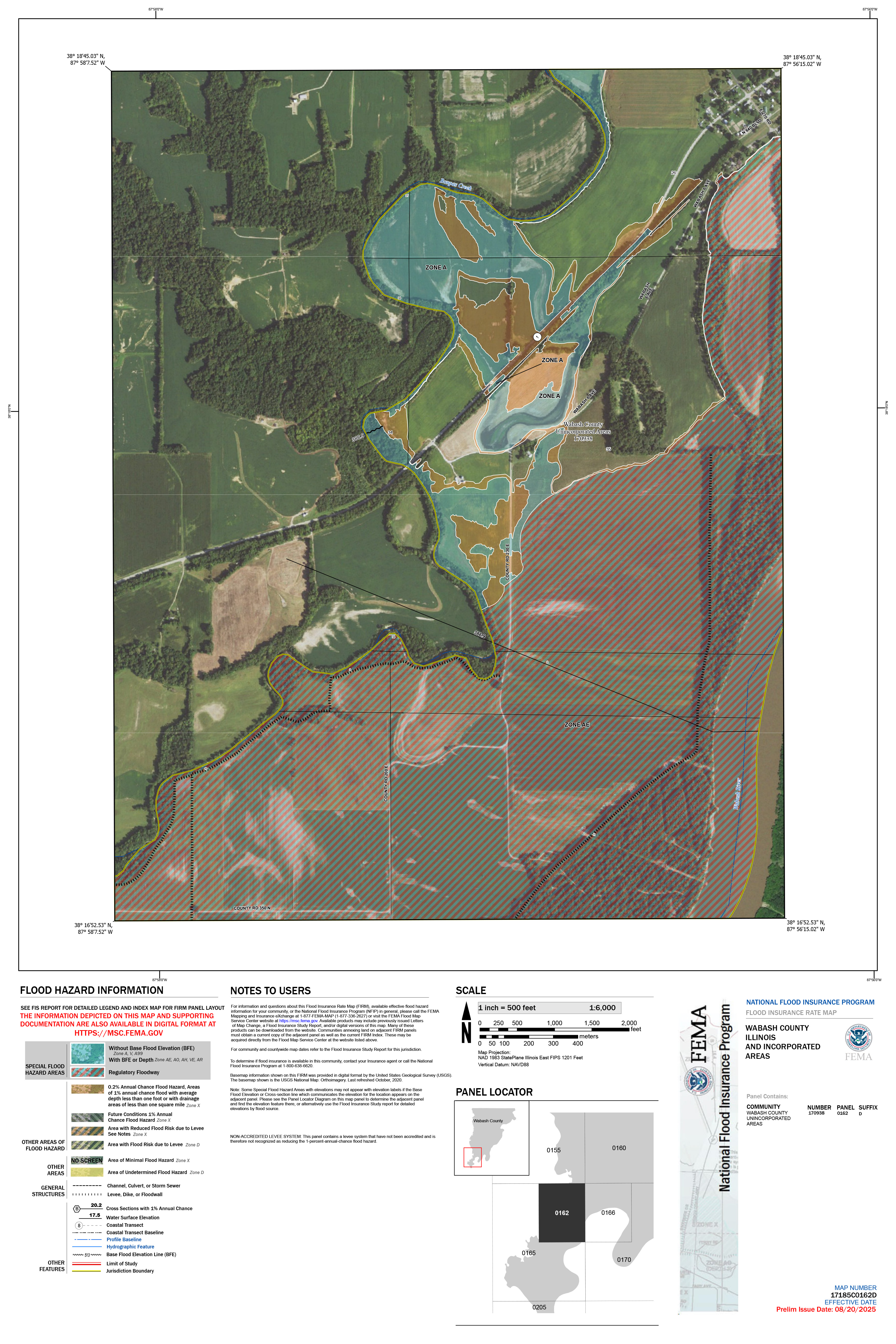
17185C0162D
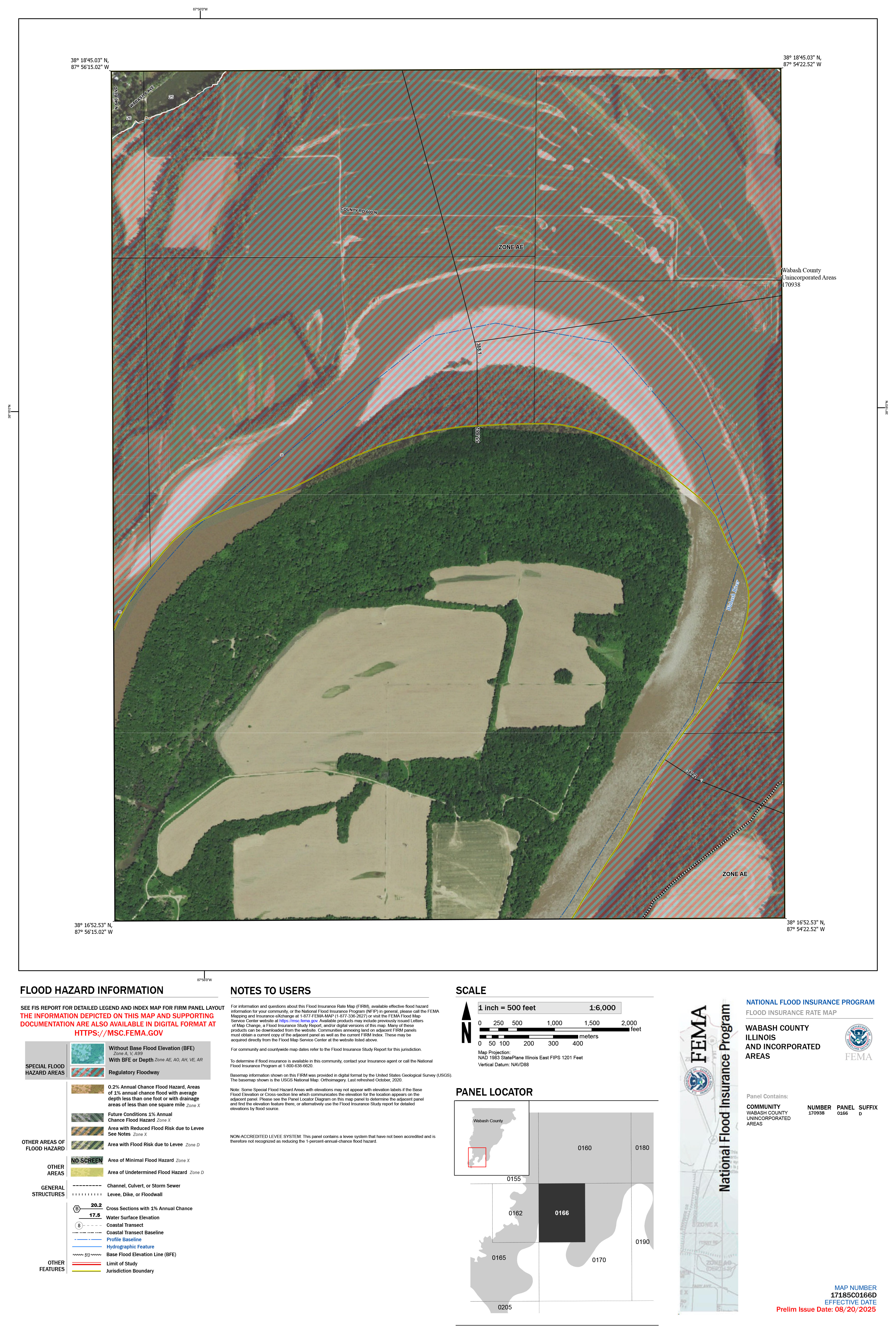
17185C0166D
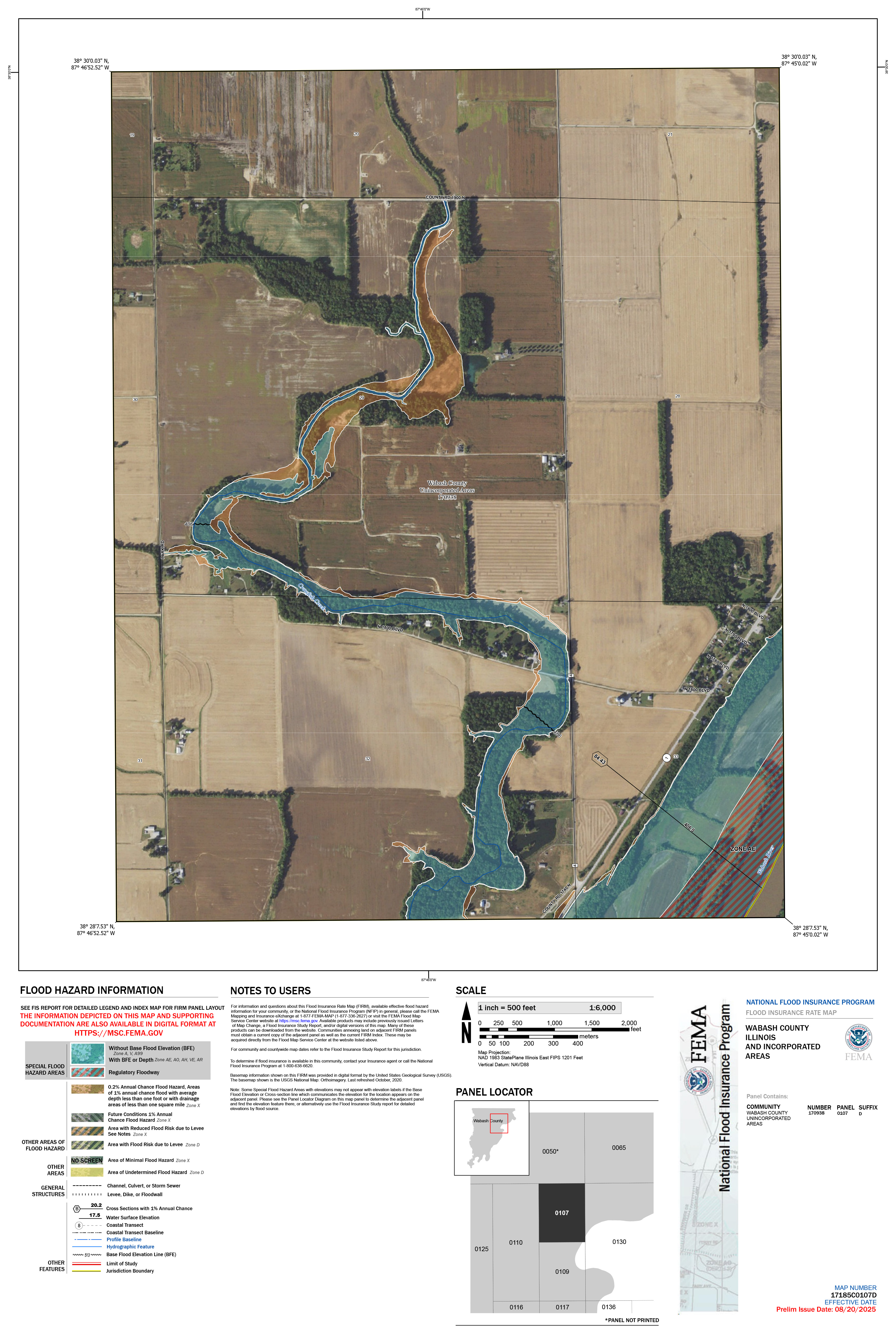
17185C0107D
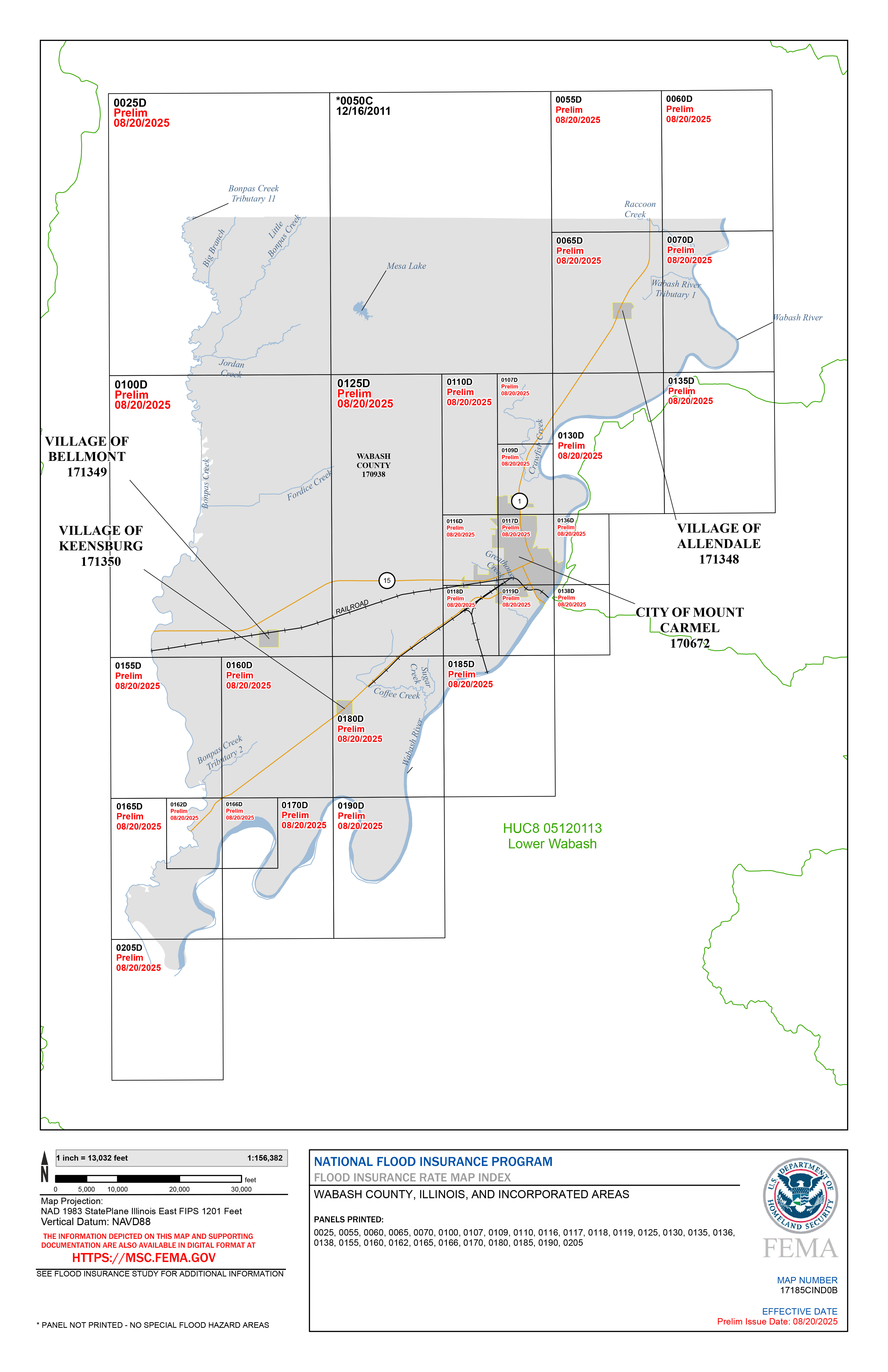
Index
Preliminary FIS
Preliminary FIRM Database
Download All (Panels, FIS, Database)
Changes Since Last FIRM
Data Development Phase
Flood Risk Review Meeting – Lower Wabash and Middle Wabash-Busseron Watersheds
3/17/2023
 Meeting Recording (hosted on Illinois Media Space)
 Meeting Presentation (PDF)
Levee Analysis and Mapping Procedures (LAMP) - Mt Carmel Levee System
Discovery Phase
Additional Resources
- • Wabash County Hazard Mitigation Plan
- • Floodplain Mapping 101
- • Destined for DFIRMs
- • Building Footprints
- • Topographic Wetness Index
- • Links to National Flood Insurance Program (NFIP) Information
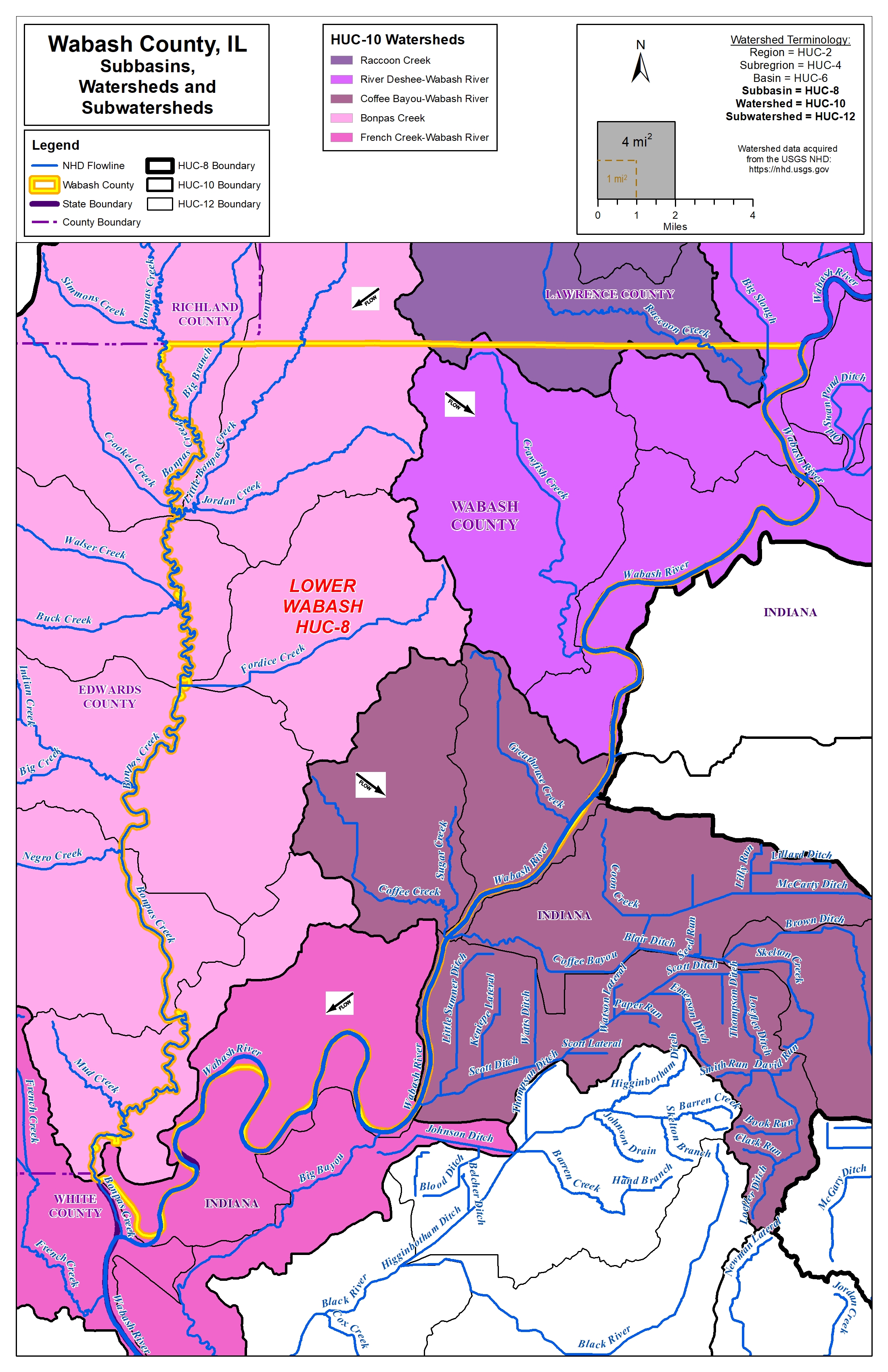
County Watershed Map
Frequently Asked Questions